Nevado de Toluca Guide
- Elevation: 4632
- Difficulty: Walk up
- Best months to climb: April, May, June, July
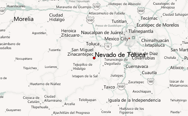
- Convenient center: Toluca
Nevado de Toluca climbers Notes
Guillermo Vidales Reyes from MEXICO writes:
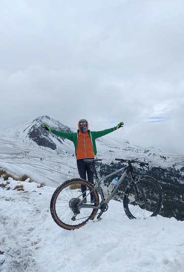
Hiking Season: All year
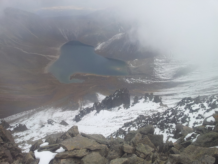
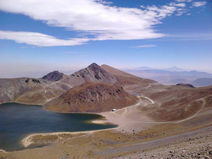
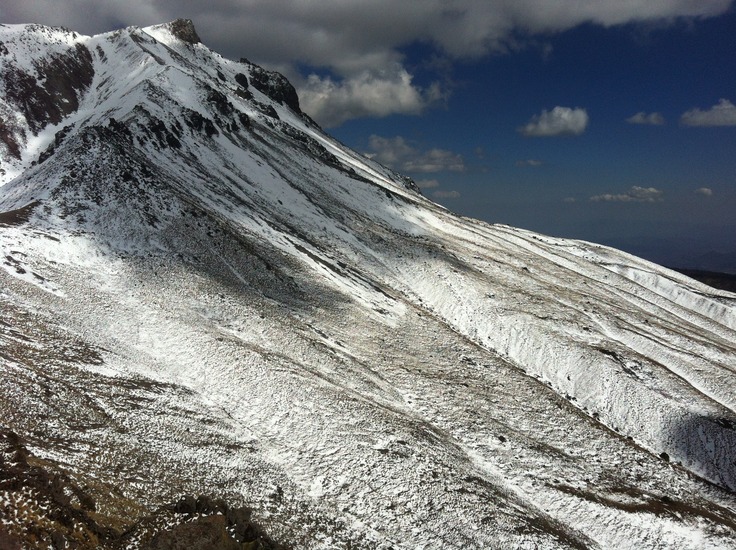
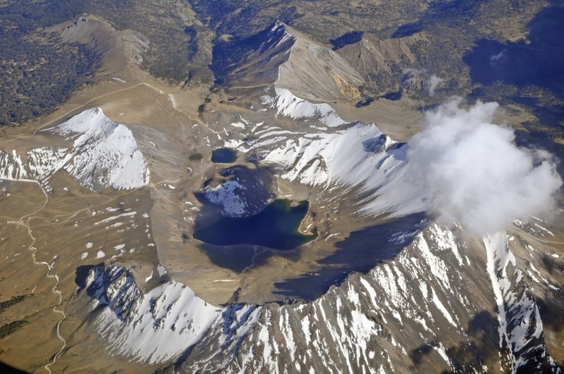
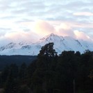
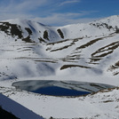
On the southern part of Toluca we can visit a beautiful volcano with lakes inside, which is the name that the inhabitants of ancient Xinancatecatl. It has an altitude of 4632 metres.
This is Mexico's fourth highest mountain, after the Pico de Orizaba, Popocatepetl, and Iztaccihuatl. (By some measurements, however, the Sierra Negra is slightly higher.) , and it is unique in that one can drive into the crater of this volcano. Nevado de Toluca has two summits, the higher Pico de Fraile (Friar's Peak) at 4680 metres.
You can summit this volcano with hgmexico.com mountain guides
"friends at the mountain, brothers forever"
Guillermo (Huracan)
2012-05-25 |
Click here to read 2 more climbing notes for Nevado de Toluca or submit your own
|
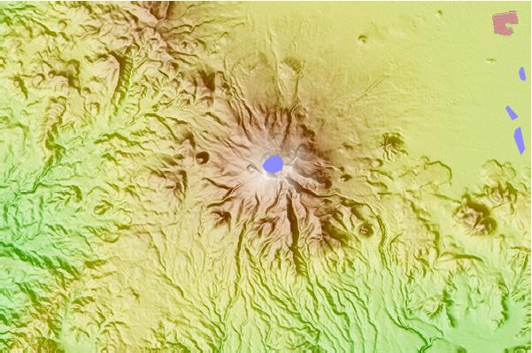
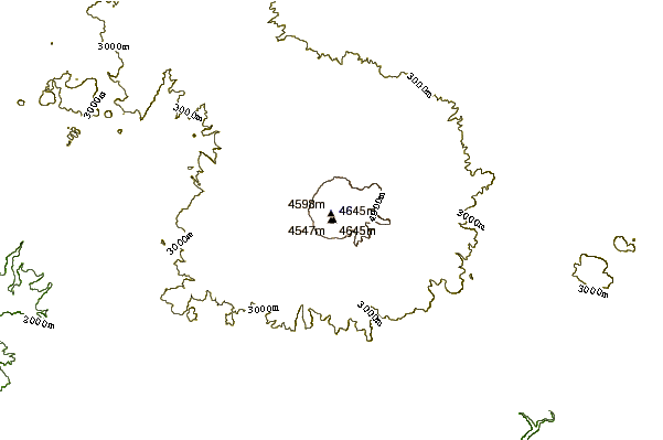
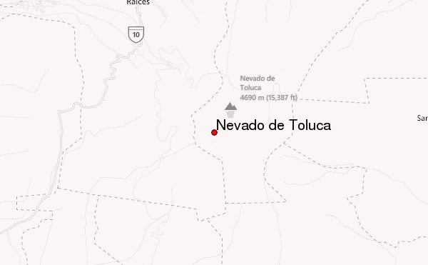
Select Nevado de Toluca Location Map Detail:
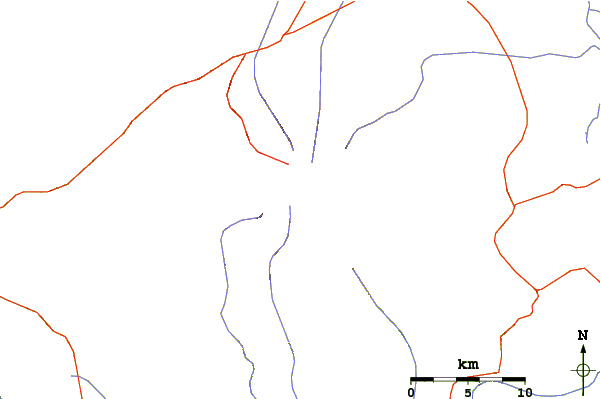
Use this relief map to navigate to mountain peaks in the area of Nevado de Toluca.
10 other mountain peaks closest to Nevado de Toluca:
 Nevado de Toluca – Climbing, Hiking & Mountaineering information
