– Lat/Long: 19.56° N 103.61° W
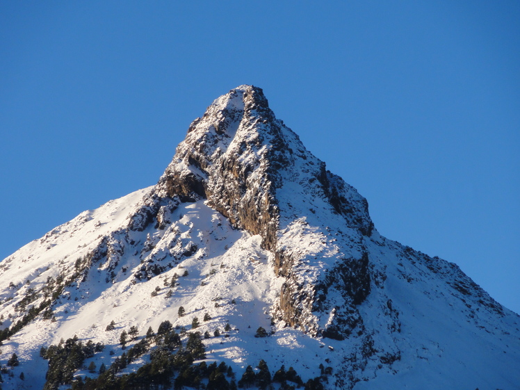
 Nevado de Colima
Weather Forecast, MexicoIssued: 5 am Mon 03 Aug Local TimeUpdates in: hr min sUpdate imminent
Issued: 5 am Mon 03 Aug Local Time
Updates in:
Update imminent hr min s

Issued: 5 am Mon 03 Aug Local Time
Updates in:
Update imminent hr min s
Days 1–3 Weather SummaryHeavy rain (total 30mm), heaviest during Wed night. Very mild (max 11°C on Mon night, min 9°C on Mon morning). Wind will be generally light. | Days 4–6 Weather SummaryHeavy rain (total 46mm), heaviest during Thu afternoon. Very mild (max 10°C on Thu night, min 8°C on Fri morning). Wind will be generally light. | |||||||||||||||||
Monday 3 | Tuesday 4 | Wednesday 5 | Thursday 6 | Friday 7 | Saturday 8 | |||||||||||||
AM | PM | night | AM | PM | night | AM | PM | night | AM | PM | night | AM | PM | night | AM | PM | night | |
risk tstorm | risk tstorm | risk tstorm | rain shwrs | risk tstorm | risk tstorm | rain shwrs | risk tstorm | risk tstorm | risk tstorm | risk tstorm | risk tstorm | risk tstorm | risk tstorm | risk tstorm | risk tstorm | risk tstorm | risk tstorm | |
Cloud base (m) | 5900 | 1650 | 5500 | 2500 | 4400 | 5950 | 3000 | 4950 | 2150 | 1950 | 4900 | 4900 | 6550 | |||||
km/h | ||||||||||||||||||
 |  |  |  |  |  | |||||||||||||
— | — | — | — | — | — | — | — | — | — | — | — | — | — | — | — | — | — | |
mm | 0.3 | 6 | 4 | 0.2 | 5 | 0.9 | 0.3 | 5 | 9 | 4 | 12 | 4 | 1.6 | 6 | 4 | 2 | 6 | 6 |
max °C | 9 | 10 | 11 | 9 | 9 | 10 | 9 | 10 | 10 | 9 | 9 | 10 | 8 | 9 | 9 | 8 | 9 | 9 |
min °C | 9 | 9 | 9 | 9 | 9 | 9 | 9 | 9 | 9 | 9 | 9 | 9 | 8 | 9 | 8 | 8 | 8 | 8 |
chill °C | 8 | 9 | 9 | 8 | 8 | 9 | 8 | 8 | 9 | 8 | 8 | 7 | 7 | 7 | 6 | 7 | 8 | 6 |
Freezing level m | 5000 | 5000 | 5150 | 5000 | 5000 | 5050 | 5000 | 5050 | 5100 | 5000 | 5000 | 5100 | 4850 | 4900 | 5000 | 4800 | 4850 | 5000 |
6:31 | — | — | 6:31 | — | — | 6:31 | — | — | 6:31 | — | — | 6:31 | — | — | 6:31 | — | — | |
— | 7:29 | — | — | 7:29 | — | — | 7:28 | — | — | 7:28 | — | — | 7:27 | — | — | 7:25 | — | |
Loading...
Nevado de Colima Weather (Days 0-3):
The weather forecast for Nevado de Colima is: Heavy rain (total 30mm), heaviest during Wed night. Very mild (max 11°C on Mon night, min 9°C on Mon morning). Wind will be generally light.
Nevado de Colima Weather (Days 3-6):
Heavy rain (total 46mm), heaviest during Thu afternoon. Very mild (max 10°C on Thu night, min 8°C on Fri morning). Wind will be generally light.
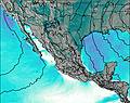
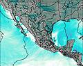
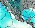
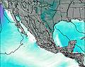
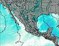
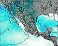
This table gives the weather forecast for Nevado de Colima at the specific elevation of 3500 m. Our advanced weather models allow us to provide distinct weather forecasts for several elevations of Nevado de Colima. To see the weather forecasts for the other elevations, use the tab navigation above the table. For a wider overview of the weather, consult the Weather Map of Mexico.
| Weather Station | Temp. | Weather | Wind | Gusts | Cloud / Visibility |
|---|---|---|---|---|---|
Manzanillo- Col. | |||||
lightning 13km NNW of Cojumatlan de Regules | |||||
Guadalajara Airport | |||||
Guadalajara- Jal. | |||||
* NOTE: not all weather observatories update at the same frequency which is the reason why some locations may show data from stations that are further away than known closer ones.
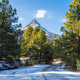
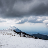
Nevado de Colima Photos
View all
Cordillera Neovolcanica photos (276) |
Mexican Ranges photos (375) |
photos from mountains in Mexico (371) |
all photos
 Upload new photo
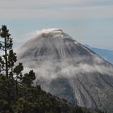
 See 110 more Nevado de Colima photos
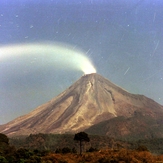
"volcan de fuego"
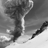
Actived volcano El colima
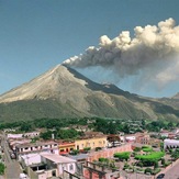
Impressive
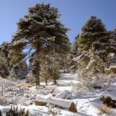
the beauty of the place
Vista desde la Joya
Volcan de fuego