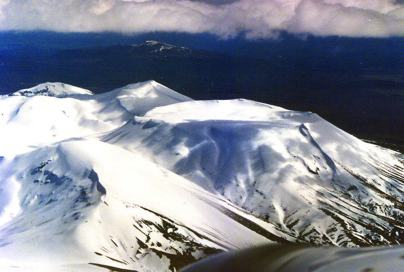
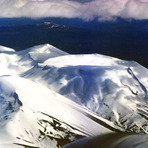
Mount Tongariro Guide
- Elevation: 1968
- Difficulty: Walk up
- Best months to climb: January, February, November, December
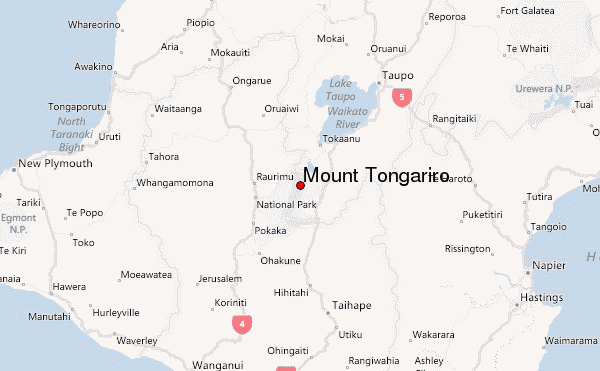
- Convenient center: Turangi
Mount Tongariro climbers Notes
Janelle Phillips from NEW ZEALAND writes:
Hi just want to let you know we are planning to do the crossing on the 7th of November 2020.
6 ladies
I'm sure you will let us know of any additional information than what we have already read and of what we need to do before we attempt this walk. We are very aware of how the weather changes.
2020-10-03 |
Click here to submit your own climbing note for Mount Tongariro
|
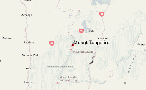
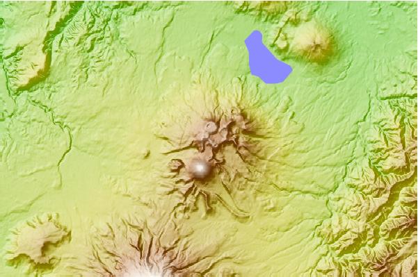
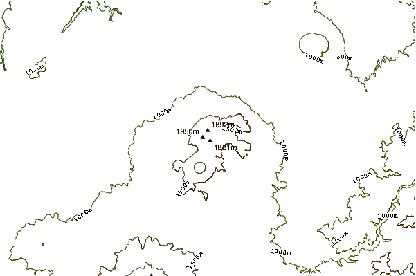
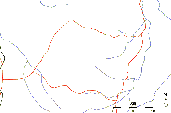
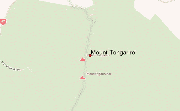
Select Mount Tongariro Location Map Detail:
Use this relief map to navigate to mountain peaks in the area of Mount Tongariro.
10 other mountain peaks closest to Mount Tongariro:
 Mount Tongariro – Climbing, Hiking & Mountaineering information