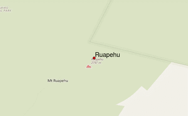
Ruapehu Guide
- Elevation: 2796
- Difficulty: Basic Snow and Ice Climb
- Best months to climb: December, January, February, March
- Convenient center: Ohakune/National Park
Ruapehu climbers Notes
John Gilbertson from UNITED KINGDOM writes:
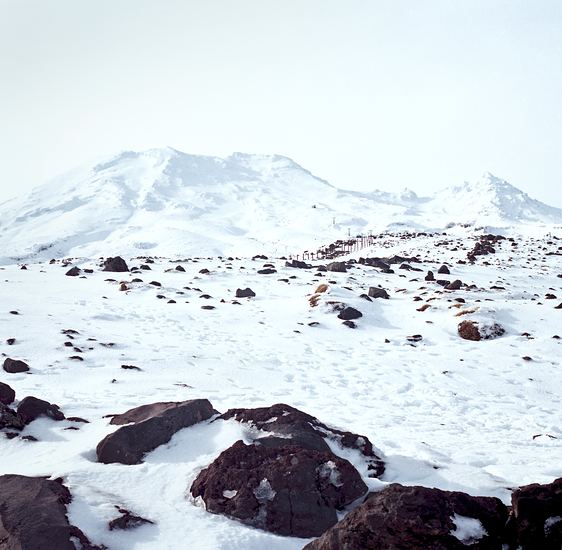
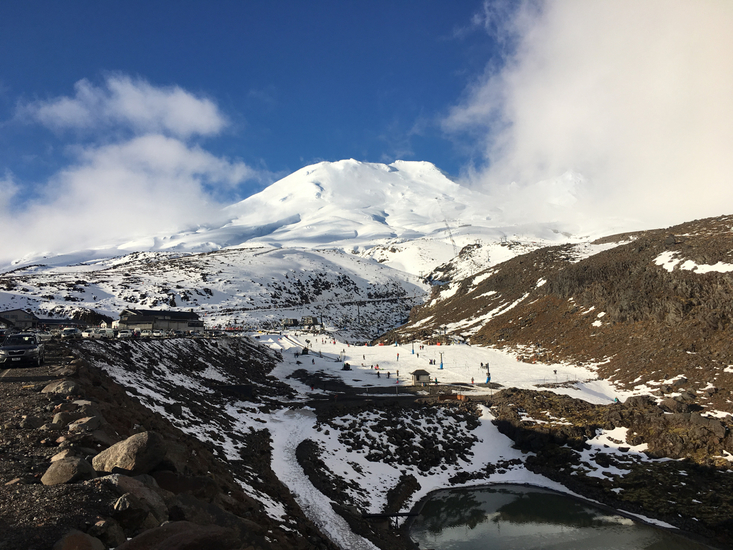
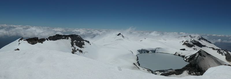
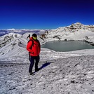
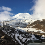
A great mountain. Amazing views in every direction from the summit.
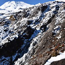
Straight forward enough until the final few hundred meters up to the summit ridge. They are steep and require care. The sun comes on to the slope mid morning in the spring. So the ice condition the way down may be weaker that on the way up. As we found.
Enjoy it though well worth the effort.
2019-12-08 |
Click here to submit your own climbing note for Ruapehu
|
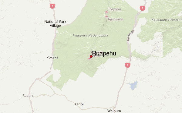
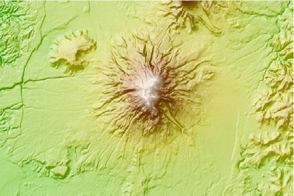
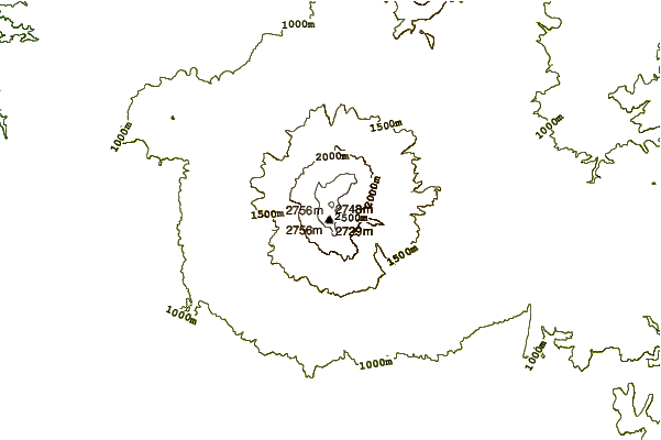
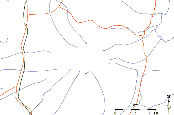
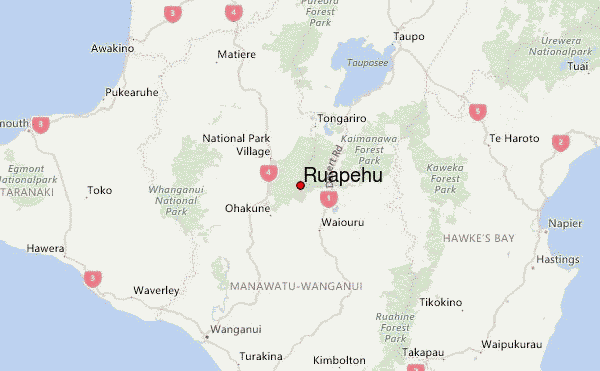
Select Ruapehu Location Map Detail:
Use this relief map to navigate to mountain peaks in the area of Ruapehu.
10 other mountain peaks closest to Ruapehu:
 Ruapehu – Climbing, Hiking & Mountaineering information
