– Lat/Long: 36.42° S 148.25° E
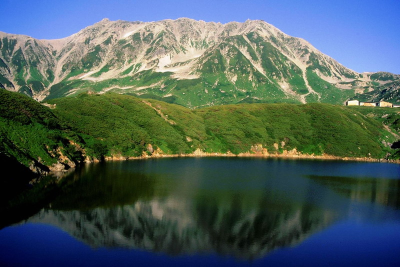
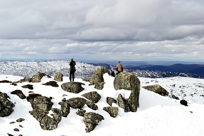
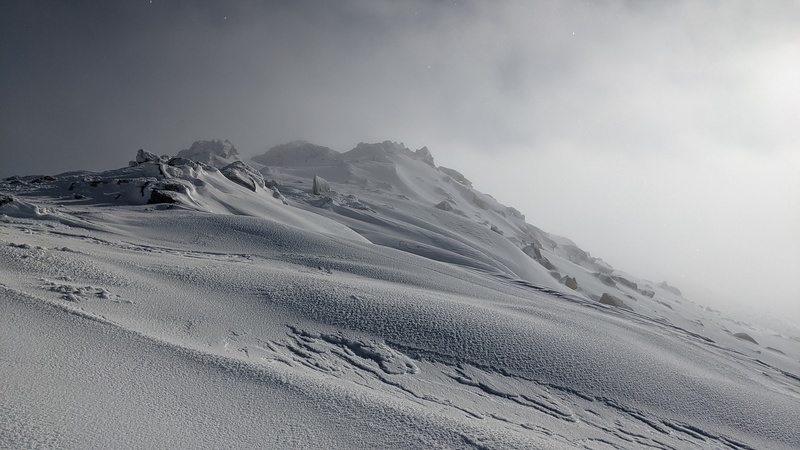
 Mount Tate – Climbing, Hiking & Mountaineering information

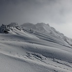
Mount Tate Guide
- Elevation: 2068
- Difficulty: -
- Best months to climb: -
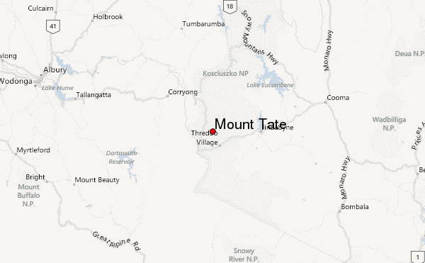
- Convenient center: Thredbo Village
Mount Tate climbers NotesBe the first to submit your climbers note! Please submit any useful information about climbing Mount Tate that may be useful to other climbers. Consider things such as access and accommodation at the base of Mount Tate, as well as the logistics of climbing to the summit. |
| Select a
mountain summit from the menu |
||
|
Select a Mountain Summit
|
||
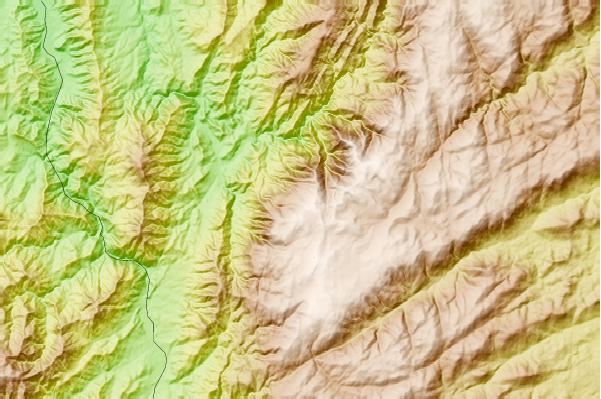
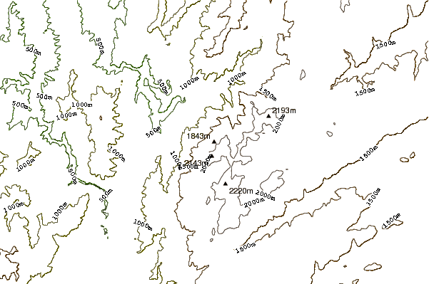
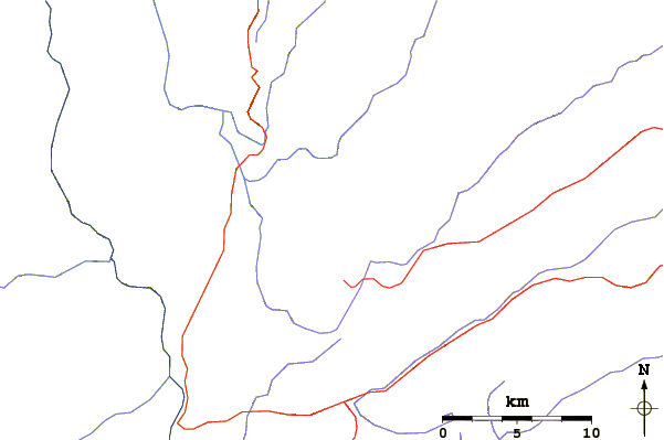
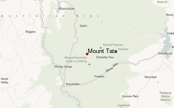
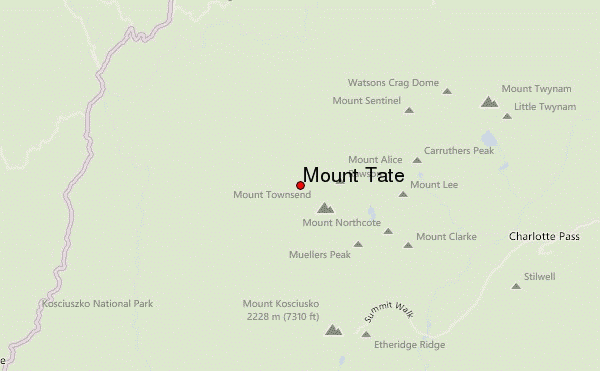
Use this relief map to navigate to mountain peaks in the area of Mount Tate.
10 other mountain peaks closest to Mount Tate:
| 1. | Mount Townsend (2209 m) | 1.0 km |
| 2. | Abbott Peak (2145 m) | 1.3 km |
| 3. | Carruthers Peak (2145 m) | 3.8 km |
| 4. | Mount Kosciusko (2228 m) | 4.0 km |
| 5. | Mount Kosciuszko (2228 m) | 4.5 km |
| 6. | Mount Twynam (2196 m) | 6.3 km |
| 7. | Thredbo Bike Park (1998 m) | 9.2 km |
| 8. | Mount Tate (New South Wales) (2069 m) | 11.7 km |
| 9. | Gungartan (2068 m) | 20.5 km |
| 10. | Mount Youngal (1515 m) | 28.8 km |