Mount Saramati Guide
- Elevation: 3826
- Difficulty: -
- Best months to climb: -
- Convenient center: -
Mount Saramati climbers Notes
BIKRAM BORO from INDIA writes:
I'm from Guwahati, Assam. I'm a trained mountaineer. I have completed both BMC & AMC from HMI, Darjeeling in recent past. Also I have an adventure club, namely "GLOBAL ADVENTURE ASSOCIATION" based on Assam. I want to organised a trekking expedition to "Mount Saramati", Nagaland.
Dear friend, please chair your experience and detail information about Mount Saramati, Nagaland.
1. How many days it will take time to complete the trek from Dimapur - Saramati - Dimapur?
2. Lodging and fooding facility in Dimapur - Saramati. (also during trek).
3. Transport facility from Dimapur to near by saramati?
4. ILP or any documentation for entering the Saramati Peak.
Rgrds,
Bikram Boro
Call: 0 8822141591.
Email: [email protected]
Our Registered Club: Global Adventure Association (GAA).
2014-08-05 |
Click here to read 1 more climbing note for Mount Saramati or submit your own
|
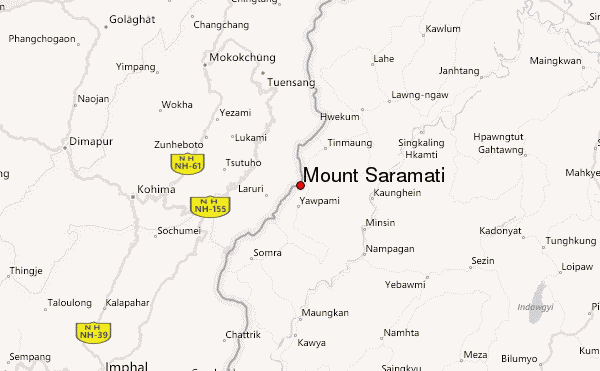
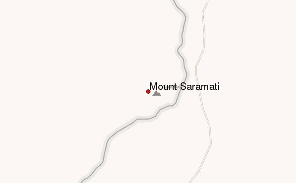
Select Mount Saramati Location Map Detail:
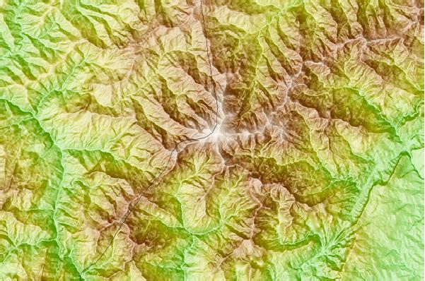
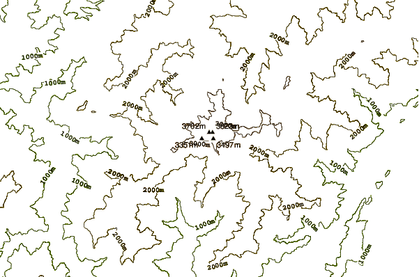
Use this relief map to navigate to mountain peaks in the area of Mount Saramati.
10 other mountain peaks closest to Mount Saramati:
 Mount Saramati – Climbing, Hiking & Mountaineering information