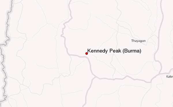
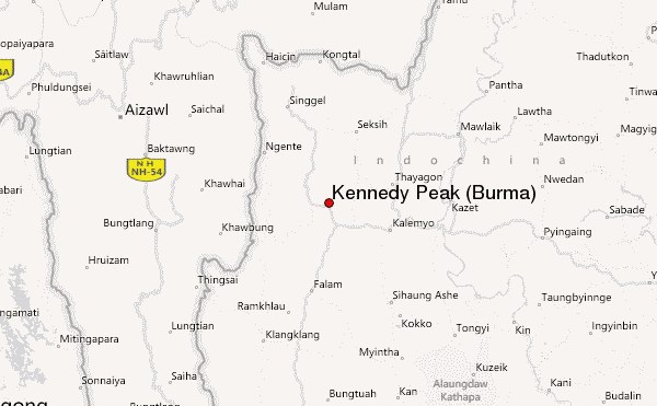
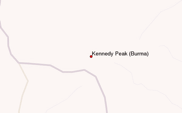
– Lat/Long: 23.32° N 93.76° E
 Kennedy Peak (Burma) – Climbing, Hiking & Mountaineering information

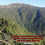
Kennedy Peak (Burma) Guide
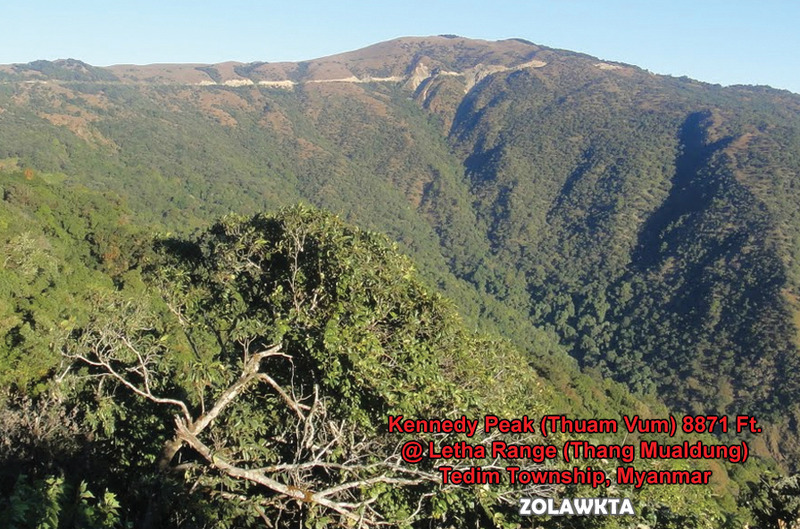
- Elevation: 2703
- Difficulty: -
- Best months to climb: -
- Convenient center: -
Kennedy Peak (Burma) climbers NotesBe the first to submit your climbers note! Please submit any useful information about climbing Kennedy Peak (Burma) that may be useful to other climbers. Consider things such as access and accommodation at the base of Kennedy Peak (Burma), as well as the logistics of climbing to the summit. |
| Select a
mountain summit from the menu |
||
|
Select a Mountain Summit
|
||
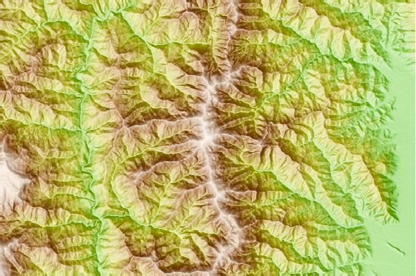
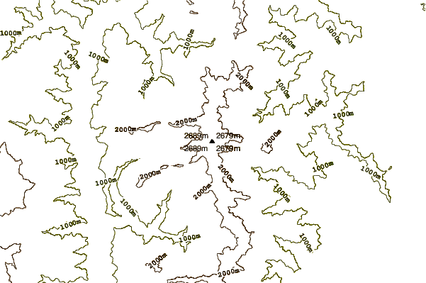
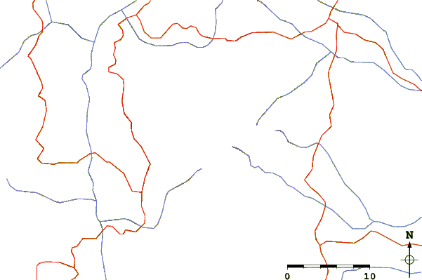
Use this relief map to navigate to mountain peaks in the area of Kennedy Peak (Burma).
10 other mountain peaks closest to Kennedy Peak (Burma):
| 1. | Phawngpui (Blue Mountain) (2165 m) | 180.1 km |
| 2. | Keokradong (1230 m) | 198.9 km |
| 3. | Mowdok Mual (1052 m) | 207.3 km |
| 4. | Nat Ma Taung (3053 m) | 232.4 km |
| 5. | Mol Len (3088 m) | 262.2 km |
| 6. | Mount Saramati (3826 m) | 298.1 km |
| 7. | Popa (1518 m) | 311.6 km |
| 8. | Sangpang Bum (2692 m) | 410.6 km |
| 9. | Mt Logaina (3759 m) | 429.8 km |
| 10. | Loi Leng (2673 m) | 447.3 km |