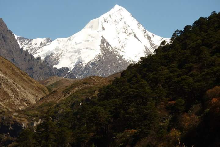
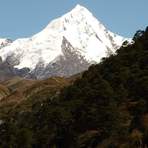
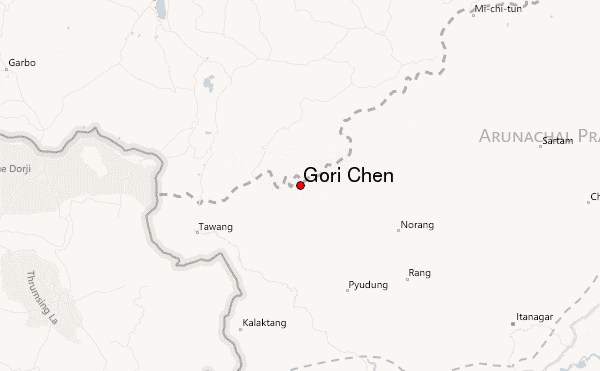
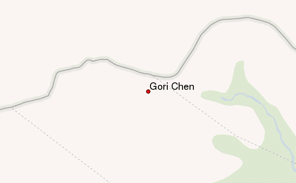
Gorichen is a high rock and ice peak and the most western and most easily accessed of the main Arunchal peaks.
This mountain was first climbed by an Indian Army expedition, led by T. Haralu, in 1966. On October 29th Maj. J.C. Joshi, Capt. N. Thapa, Lt. A.J.B. Jaini, Lt. N.P. Rajagopal, Nk. Mann Singh, L/Nk Darshan Singh, L/Nk Hira Bahadur and Gyamtsola stood on the summit. They had certain difficulties during their descent. (Source: Himalayan Mountainieering Journal, Vol. 4 No. 2 cited in "Exploring the Hidden Himalaya" by Soli Mehta and Harish Kapadia. London 1990). A second ascent was also made by an Indian Army expedition led by Maj. A. Sen.
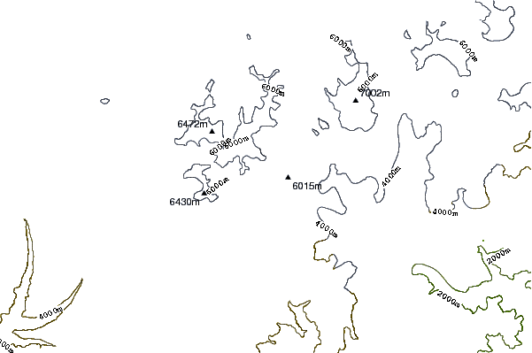
Today it is the most frequented of the Assam peaks. The elevation of the mountain is still disputed; the 1994 Indian expedition revised it from 6858m/22500ft to 6488m/21286ft (they thought that they made the first climb....), but also other elevations have been measured.
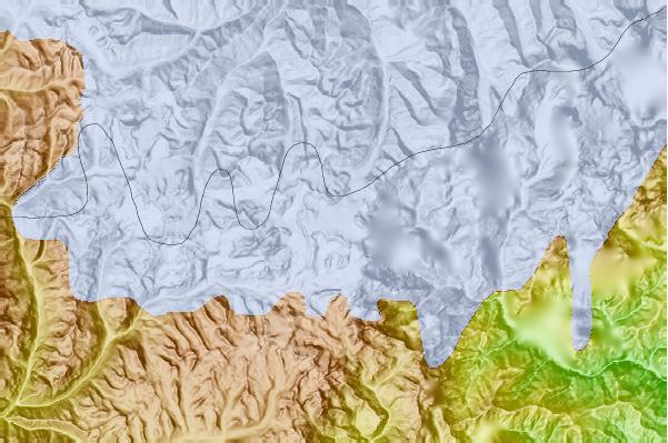
The mountain has several subsidiary, slightly lower peaks, which also have been climbed. Together with Bhutan, Assam is the least explored of the Himalaya, and inhibits many unclimbed 6000m peaks.
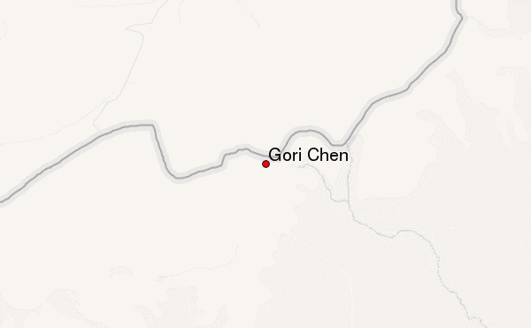
 Gori Chen – Climbing, Hiking & Mountaineering information