– Lat/Long: 25.32° N 98.47° E
 Tengchong – Climbing, Hiking & Mountaineering information

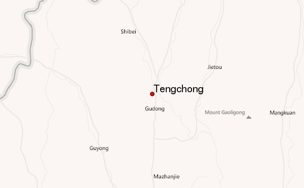
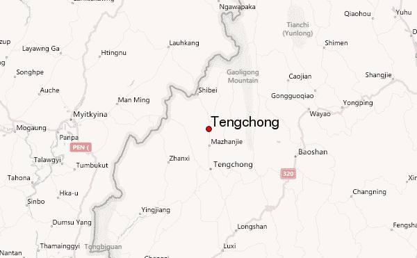
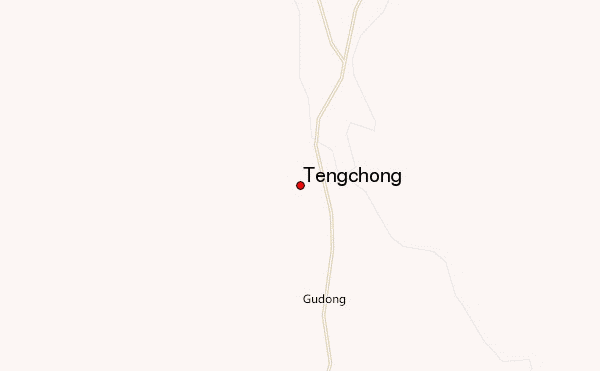
Tengchong Guide
- Elevation: 2865
- Difficulty: -
- Best months to climb: -
- Convenient center: -
Tengchong climbers NotesBe the first to submit your climbers note! Please submit any useful information about climbing Tengchong that may be useful to other climbers. Consider things such as access and accommodation at the base of Tengchong, as well as the logistics of climbing to the summit. |
| Select a
mountain summit from the menu |
||
|
Select a Mountain Summit
|
||
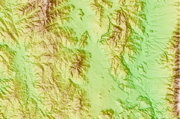
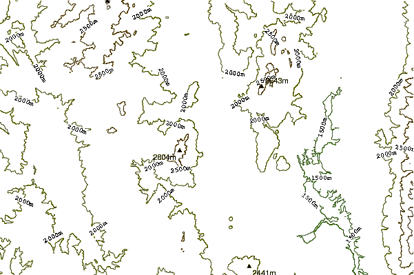
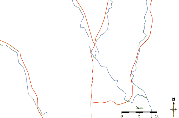
Use this relief map to navigate to mountain peaks in the area of Tengchong.
10 other mountain peaks closest to Tengchong:
| 1. | Bumhpa Bum (3411 m) | 195.8 km |
| 2. | Mt Logaina (3759 m) | 213.6 km |
| 3. | Mong Ling Shan (2641 m) | 225.1 km |
| 4. | Yulong Xue Shan (5596 m) | 260.5 km |
| 5. | Jade Dragon Snow Mountain (玉龙雪山) (5596 m) | 261.0 km |
| 6. | Haba Xueshan, Hābā Shān or Haba Snow Mountain (哈巴山) (5396 m) | 275.5 km |
| 7. | Haba Xue Shan or Haba Snow Mountain (5396 m) | 282.8 km |
| 8. | Sangpang Bum (2692 m) | 292.5 km |
| 9. | Loi Leng (2673 m) | 300.0 km |
| 10. | Mawhpung Bum (1874 m) | 300.9 km |