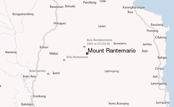
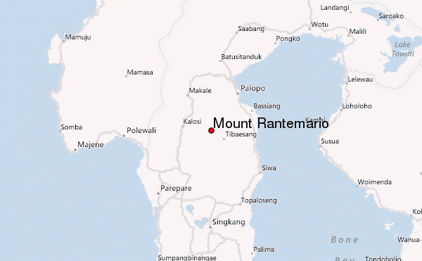
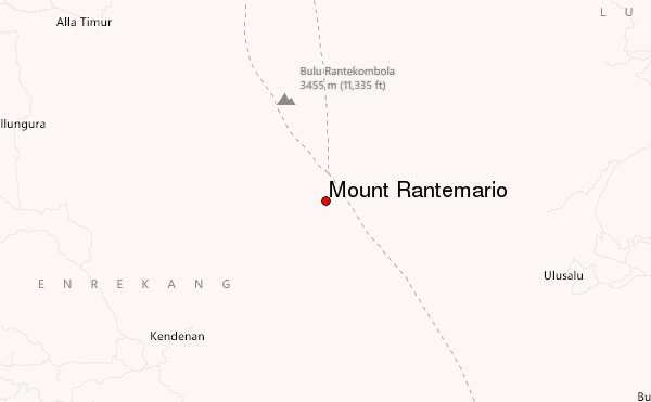
– Lat/Long: 3.38° S 120.03° E
 Mount Rantemario – Climbing, Hiking & Mountaineering information

Mount Rantemario Guide
- Elevation: 3478
- Difficulty: -
- Best months to climb: -
- Convenient center: -
Mount Rantemario climbers NotesBe the first to submit your climbers note! Please submit any useful information about climbing Mount Rantemario that may be useful to other climbers. Consider things such as access and accommodation at the base of Mount Rantemario, as well as the logistics of climbing to the summit. |
| Select a
mountain summit from the menu |
||
|
Select a Mountain Summit
|
||
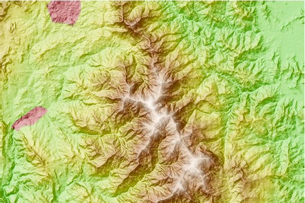
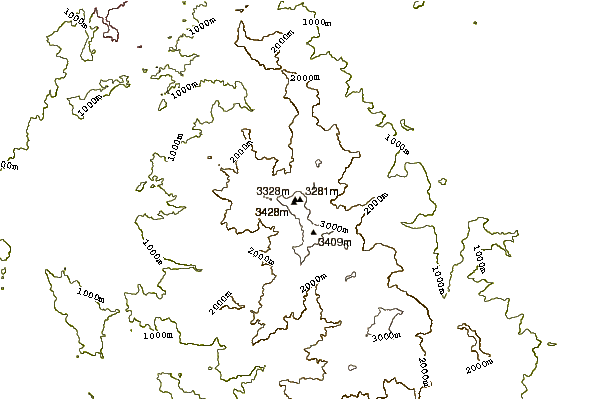
Use this relief map to navigate to mountain peaks in the area of Mount Rantemario.
10 other mountain peaks closest to Mount Rantemario:
| 1. | Mount Rantekombola (3455 m) | 3.8 km |
| 2. | Rumah Kebun Bili Bili Bike Park (219 m) | 215.0 km |
| 3. | Moncong Lompobatang (2874 m) | 219.0 km |
| 4. | Colo (volcano) (507 m) | 398.3 km |
| 5. | Sangeang Api (1949 m) | 544.7 km |
| 6. | Rokatenda (875 m) | 579.5 km |
| 7. | Gunung Ranakah (2100 m) | 585.5 km |
| 8. | Tambora (2850 m) | 586.5 km |
| 9. | Mount Tambora (2722 m) | 586.5 km |
| 10. | Poco Mandasawu (2370 m) | 588.2 km |