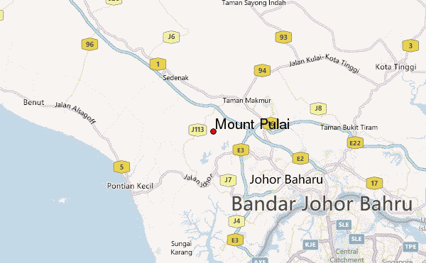
Mount Pulai Guide
- Elevation: 654
- Difficulty: -
- Best months to climb: -
- Convenient center: -
Mount Pulai climbers Notes
KS from MALAYSIA writes:
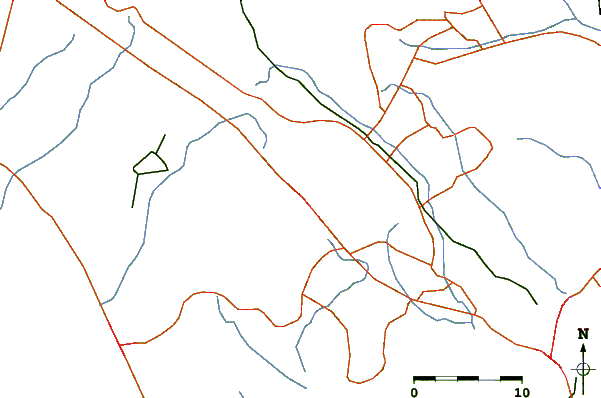
Path along the way are tar road, so it is considered an easy hike. Along the 5km path, there are a few steep slope, but not too harsh. It took me about 1 hour to reach the top and another 1 hour to descend.
Nothing much to see at the top, but wind is strong and air is fresh. There is waterfall at the entrance of the trail, good place for picnic as well.
Plenty of car park at the entrance of the trail.
2013-09-26 |
Click here to submit your own climbing note for Mount Pulai
|
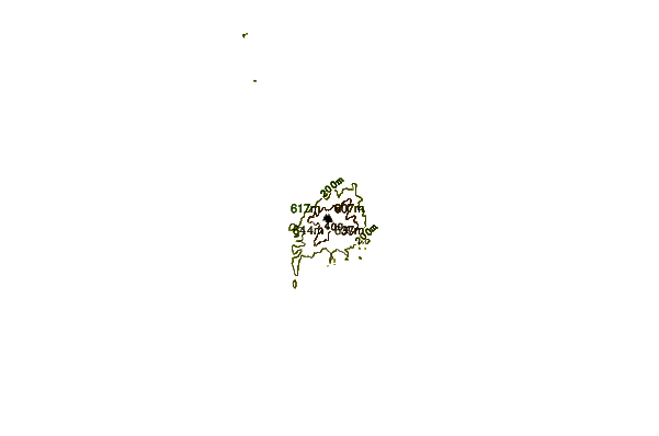
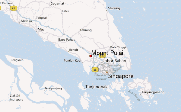
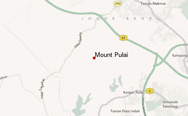
Select Mount Pulai Location Map Detail:
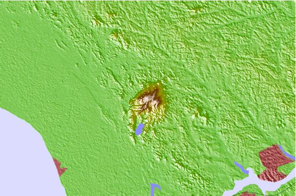
Use this relief map to navigate to mountain peaks in the area of Mount Pulai.
10 other mountain peaks closest to Mount Pulai:
 Mount Pulai – Climbing, Hiking & Mountaineering information