Gunung Angsi Guide
- Elevation: 825
- Difficulty: Walk up
- Best months to climb: January, February, May, June, July, August, December
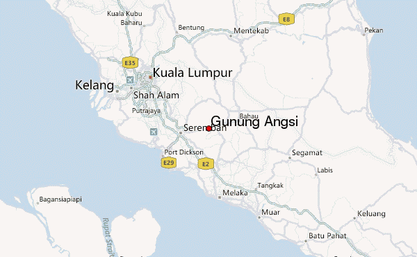
- Convenient center: Senawang
Gunung Angsi climbers Notes
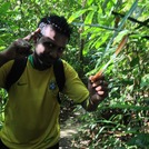
Oliver Descoeudres from AUSTRALIA writes:
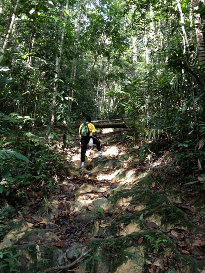
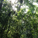
It’s about an hour from KL to Seremban, about 60km to the south, and then another 20min drive to the start of one of the trails to the peak. We are taking the Bukit Putus route up, which is the shorter and more direct route, starting at an altitude of 285m. The trail from the large parking area is impossible to miss and is well marked. It's a fairly steep but direct route to the summit, which took 90min (4.1km)
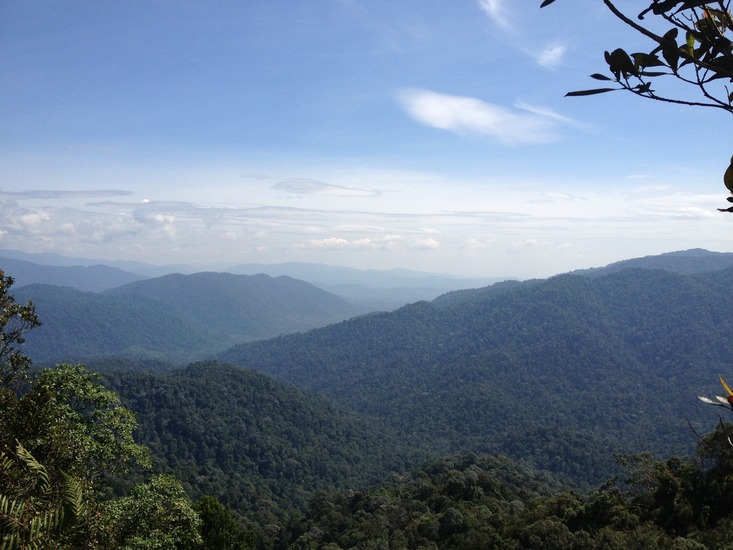
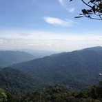
There's a large flat area with a shelter at the summit, and some views (not great!) over the surrounding area.
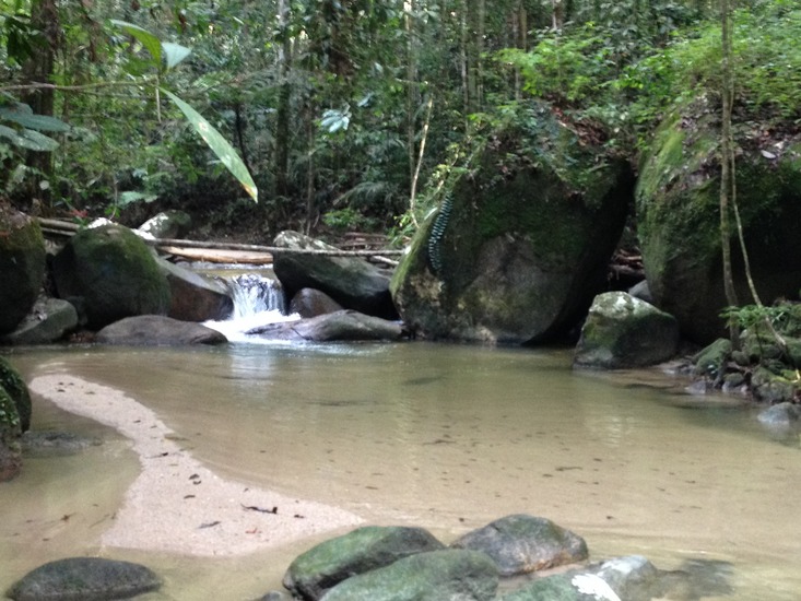
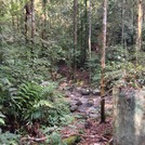
The descent we are taking is the longer Ulu Bendul trail. It’s narrower and seems less trafficked than the Bukit Putus route we took up (although other trip reports suggest this longer route is more popular) – and descends even more steeply. In a number of places there are sections of rope in place to help descend the slippery track. Once you reach the valley the track follows the river, and there are a number of beautiful cascades and swimming holes. It took 3 hours to cover the 7.4km descent, with a number of photography stops. To avoid a 3km walk along the highway back to our car, we hitched a lift from the cafe, which would also be a great spot for lunch.
Full report: https://hikingtheworld.blog/2017/08/17/gunung-angsi/
2017-08-21 |
Click here to submit your own climbing note for Gunung Angsi
|
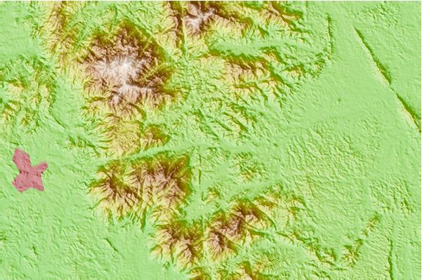
Select Gunung Angsi Location Map Detail:
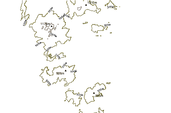
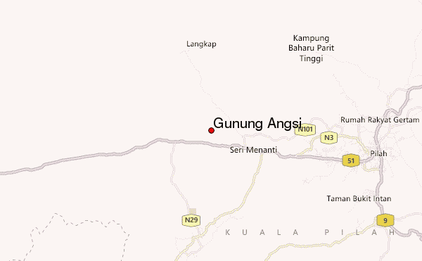
Use this relief map to navigate to mountain peaks in the area of Gunung Angsi.
10 other mountain peaks closest to Gunung Angsi:
 Gunung Angsi – Climbing, Hiking & Mountaineering information
