Gunung Ledang Guide
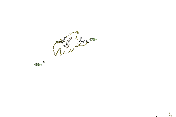
- Elevation: 1276
- Difficulty: Walk up
- Best months to climb: January, February, May, June, July, August, December
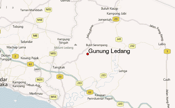
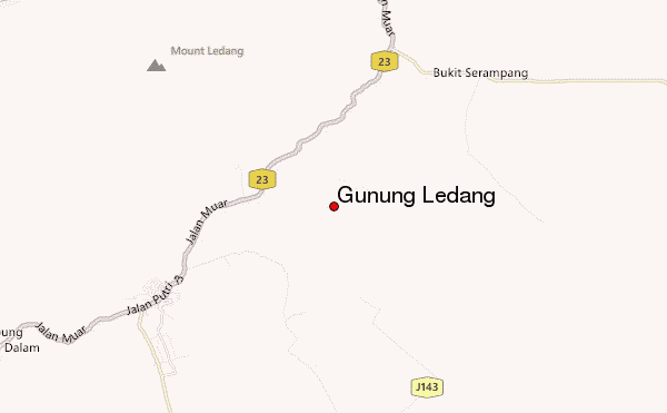
- Convenient center: Tangkak
Gunung Ledang climbers Notes
Kay from MALAYSIA writes:
If you want to hike mountains in Malaysia, I suggest that you use Silver Outdoor Sports services. They were very experienced and offered very cheap travel costs. Go to silveroutdoors.blogspot.com
2013-08-20 |
Click here to submit your own climbing note for Gunung Ledang
|
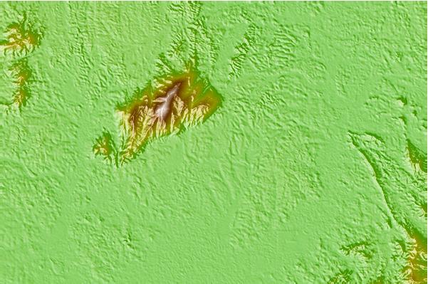
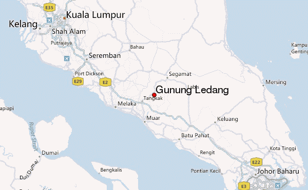
Select Gunung Ledang Location Map Detail:
Use this relief map to navigate to mountain peaks in the area of Gunung Ledang.
10 other mountain peaks closest to Gunung Ledang:
 Gunung Ledang – Climbing, Hiking & Mountaineering information