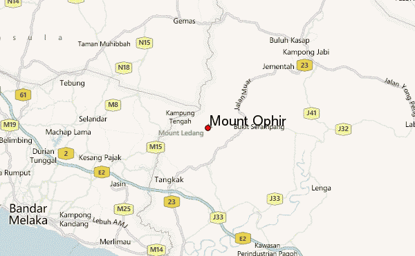
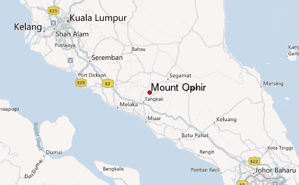
– Lat/Long: 2.37° N 102.61° E
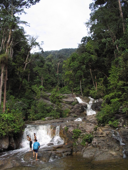
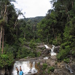
 Mount Ophir – Climbing, Hiking & Mountaineering information

Mount Ophir Guide
- Elevation: 1276
- Difficulty: -
- Best months to climb: -
- Convenient center: -
Mount Ophir climbers NotesBe the first to submit your climbers note! Please submit any useful information about climbing Mount Ophir that may be useful to other climbers. Consider things such as access and accommodation at the base of Mount Ophir, as well as the logistics of climbing to the summit. |
| Select a
mountain summit from the menu |
||
|
Select a Mountain Summit
|
||
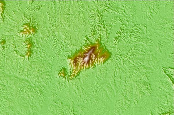

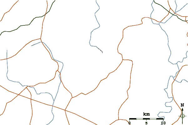
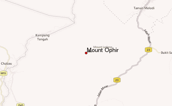
Use this relief map to navigate to mountain peaks in the area of Mount Ophir.
10 other mountain peaks closest to Mount Ophir:
| 1. | Gunung Ledang (1276 m) | 8.0 km |
| 2. | Gunung Angsi (825 m) | 64.5 km |
| 3. | Mount Hutapanjang (2021 m) | 112.2 km |
| 4. | Gunung Nuang (1493 m) | 125.3 km |
| 5. | Mount Pulai (654 m) | 135.1 km |
| 6. | Bukit Timah (164 m) | 172.5 km |
| 7. | Mount Faber (106 m) | 181.0 km |
| 8. | Gunung Tahan (2187 m) | 254.8 km |
| 9. | Mount Batu Brinchang (2032 m) | 274.6 km |
| 10. | Gunung Korbu (2183 m) | 296.0 km |