– Lat/Long: 3.25° N 101.90° E
 Gunung Nuang – Climbing, Hiking & Mountaineering information

Gunung Nuang Guide
- Elevation: 1493
- Difficulty: Walk up
- Best months to climb: January, February, May, June, July, August
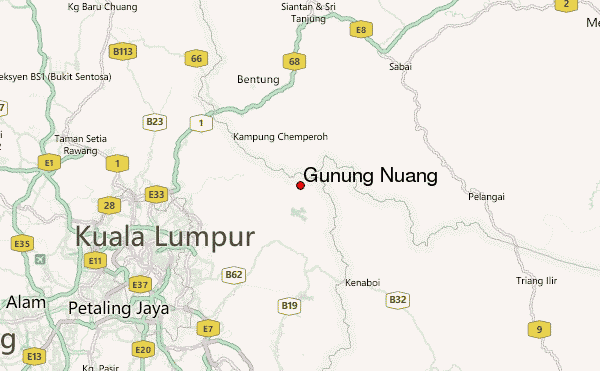
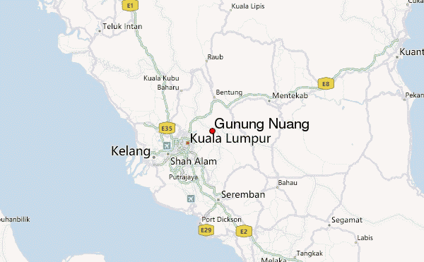
- Convenient center: Hulu Langat
Gunung Nuang climbers Notes
Click here to submit your own climbing note for Gunung Nuang |
| Select a
mountain summit from the menu |
||
|
Select a Mountain Summit
|
||
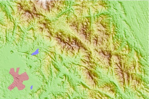
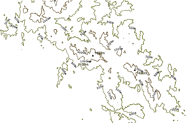
Use this relief map to navigate to mountain peaks in the area of Gunung Nuang.
10 other mountain peaks closest to Gunung Nuang:
| 1. | Gunung Angsi (825 m) | 63.1 km |
| 2. | Mount Hutapanjang (2021 m) | 107.7 km |
| 3. | Mount Ophir (1276 m) | 125.3 km |
| 4. | Gunung Ledang (1276 m) | 133.0 km |
| 5. | Mount Batu Brinchang (2032 m) | 152.2 km |
| 6. | Gunung Tahan (2187 m) | 158.3 km |
| 7. | Gunung Korbu (2183 m) | 173.6 km |
| 8. | Mount Chamah (2134 m) | 223.2 km |
| 9. | Mount Pulai (654 m) | 259.0 km |
| 10. | Ulu Titi Basah (1533 m) | 291.1 km |