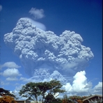
Mount Pinatubo Guide
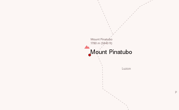
- Elevation: 1486
- Difficulty: Walk up
- Best months to climb: January, February, March, April, May, June, July, August, September, October, November, December
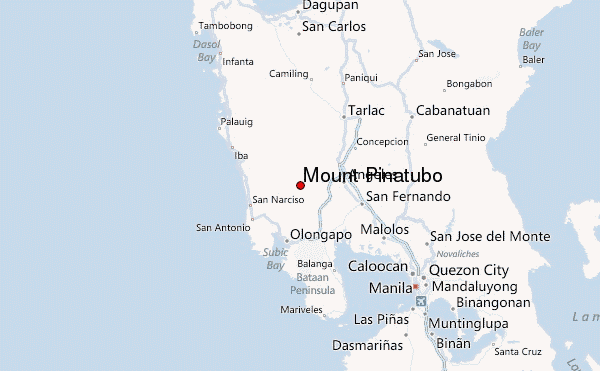
- Convenient center: Angeles,Pampanga
Mount Pinatubo climbers Notes
Akyat Pa from PHILIPPINES writes:
8 of us, ages 16-74, did the 14K round trip walk up Pinatubo on 31/12/16, cloudy weather saved us from the usual heat. Beautiful.
Bring minimum 2 liters of water, hat, bandana, sun block, sturdy water hikers. This is a river walk, after the 4X4 that drives you much of the way. If over 40--they insist on taking your blood pressure before letting you go; if 60+, you need a medical certificate stating you are fit to go.
Currently not allowed to swim in the crater because someone drowned a few years back. This is sayang and silly.
Several tour companies offer packages from Manila, and there are lodges in Sta. Ana: the starting point; about 24K from the crater.
2016-12-30 |
Click here to submit your own climbing note for Mount Pinatubo
|
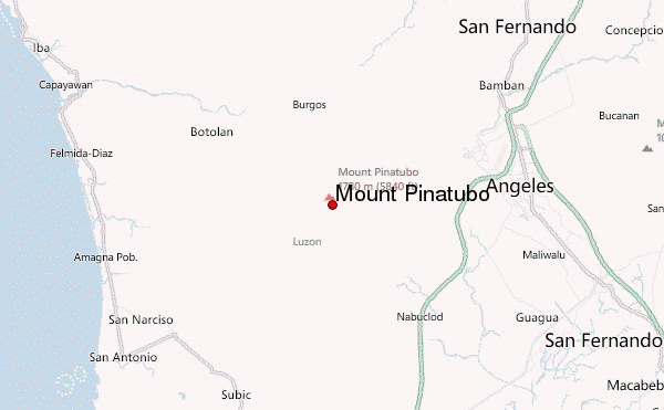
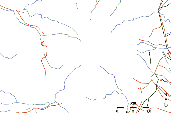
Select Mount Pinatubo Location Map Detail:
Use this relief map to navigate to mountain peaks in the area of Mount Pinatubo.
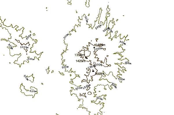
10 other mountain peaks closest to Mount Pinatubo:
 Mount Pinatubo – Climbing, Hiking & Mountaineering information
