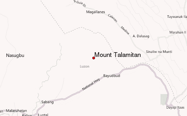
– Lat/Long: 14.11° N 120.76° E
 Mount Talamitan – Climbing, Hiking & Mountaineering information

Mount Talamitan Guide
- Elevation: 704
- Difficulty: Walk up
- Best months to climb: January, February, March, April, May, June, July, August, September, October, November, December
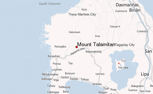
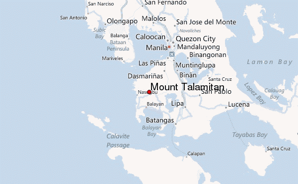
- Convenient center: Tagaytay City
Mount Talamitan climbers NotesBe the first to submit your climbers note! Please submit any useful information about climbing Mount Talamitan that may be useful to other climbers. Consider things such as access and accommodation at the base of Mount Talamitan, as well as the logistics of climbing to the summit. |
| Select a
mountain summit from the menu |
||
|
Select a Mountain Summit
|
||
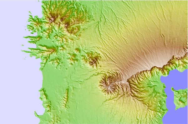
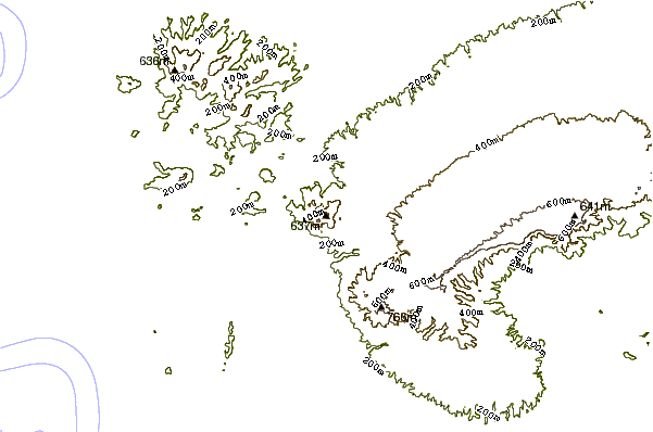
Use this relief map to navigate to mountain peaks in the area of Mount Talamitan.
10 other mountain peaks closest to Mount Talamitan:
| 1. | Mount Batulao (813 m) | 8.8 km |
| 2. | Pico de Loro (664 m) | 17.0 km |
| 3. | Taal Volcano (400 m) | 27.8 km |
| 4. | Mount Macolod (947 m) | 37.8 km |
| 5. | Mount Panay (501 m) | 45.2 km |
| 6. | Maquiling (1090 m) | 47.6 km |
| 7. | Tarak Ridge or Mariveles (1288 m) | 51.9 km |
| 8. | Mariveles Mountains (1388 m) | 51.9 km |
| 9. | Mount Malepunyo (963 m) | 54.4 km |
| 10. | San Pablo Volcanic Field (1090 m) | 58.3 km |