Pico de Loro Guide
- Elevation: 664
- Difficulty: Walk up
- Best months to climb: April, May
- Convenient center: Maragondon, Cavite
Pico de Loro climbers Notes
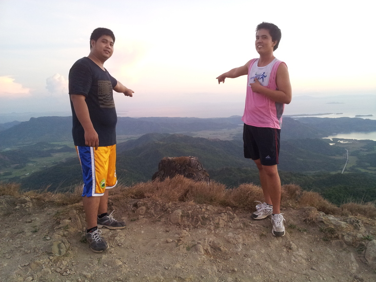
Anakiluh,MD from PHILIPPINES writes:
It's a pretty awesome experience. The hardest part was the climb up the peak then going down the trail. Too bad we failed to try the monolith. The waterfalls are awesome.
2014-12-31 |
Click here to submit your own climbing note for Pico de Loro
|
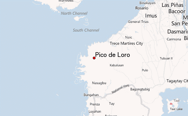
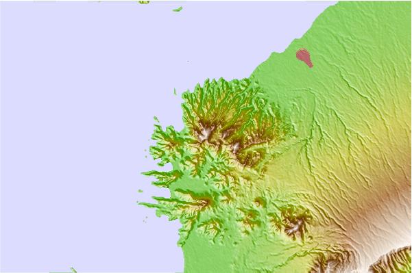
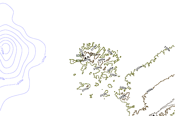
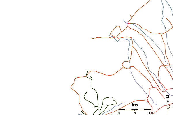
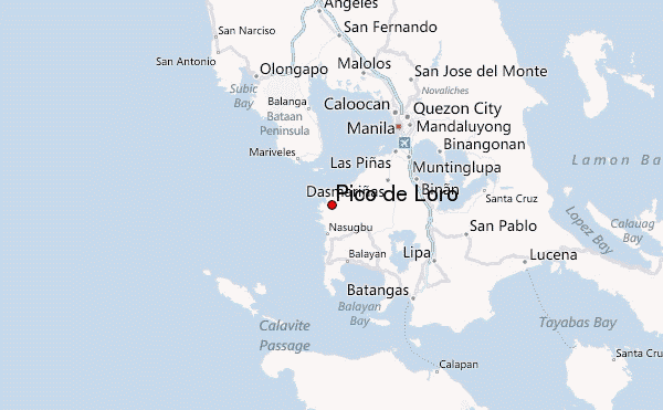
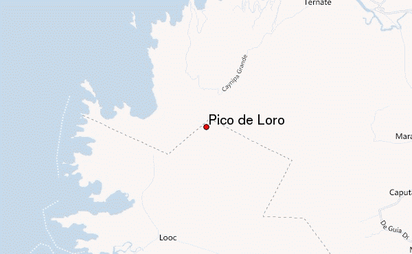
Select Pico de Loro Location Map Detail:
Use this relief map to navigate to mountain peaks in the area of Pico de Loro.
10 other mountain peaks closest to Pico de Loro:
 Pico de Loro – Climbing, Hiking & Mountaineering information
