– Lat/Long: 17.38° S 145.82° E
 Mount Bartle Frere – Climbing, Hiking & Mountaineering information

Mount Bartle Frere Guide
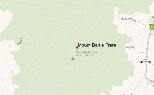
- Elevation: 1622
- Difficulty: Scramble
- Best months to climb: July, August, September, October
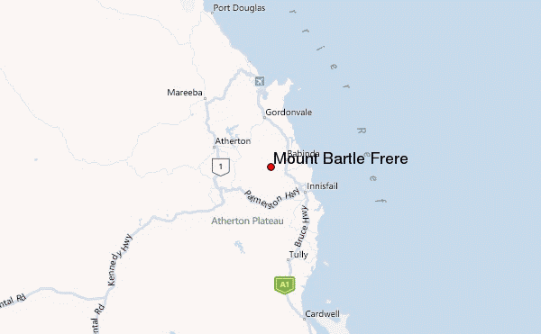
- Convenient center: Babinda, Innisfail, Atherton
Mount Bartle Frere climbers NotesBe the first to submit your climbers note! Please submit any useful information about climbing Mount Bartle Frere that may be useful to other climbers. Consider things such as access and accommodation at the base of Mount Bartle Frere, as well as the logistics of climbing to the summit. |
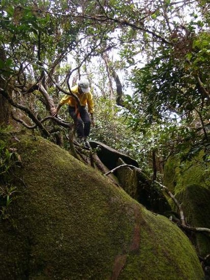
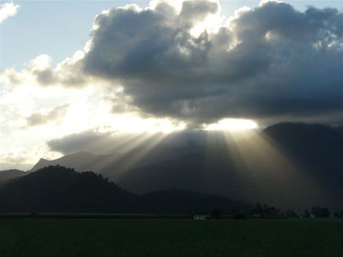
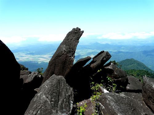
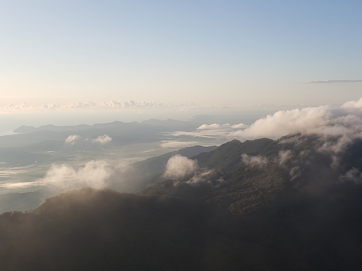
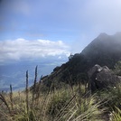
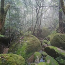
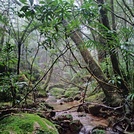
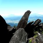
Latest Gallery Images for Mount Bartle Frere

| Select a
mountain summit from the menu |
||
|
Select a Mountain Summit
|
||
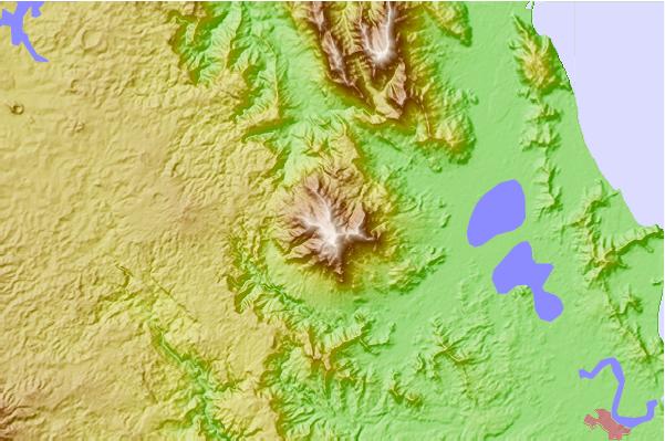
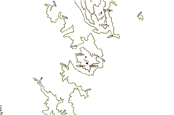
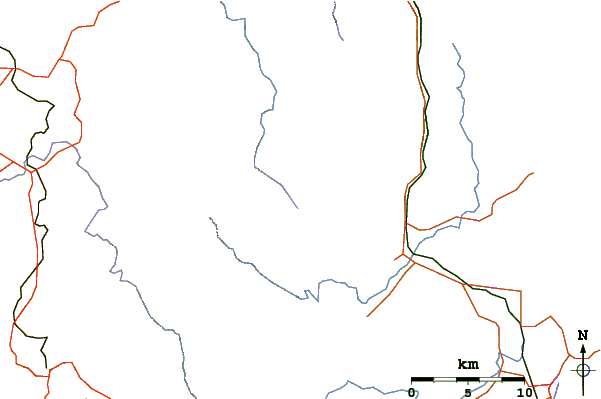
Use this relief map to navigate to mountain peaks in the area of Mount Bartle Frere.
10 other mountain peaks closest to Mount Bartle Frere:
| 1. | Mount Bellenden Ker (1593 m) | 13.8 km |
| 2. | Walsh's Peak (922 m) | 28.3 km |
| 3. | Mount Bowen (Queensland) (1121 m) | 118.4 km |
| 4. | Ngarrabullgan (400 m) | 127.2 km |
| 5. | Thornton Peak (1374 m) | 143.7 km |
| 6. | Mount Pieter Botte (1009 m) | 153.1 km |
| 7. | Mount Fox (Queensland) (120 m) | 161.4 km |
| 8. | Mount Stuart, Queensland (584 m) | 239.1 km |
| 9. | Mount Dalrymple (1277 m) | 499.1 km |
| 10. | Mount Blackwood (639 m) | 521.7 km |