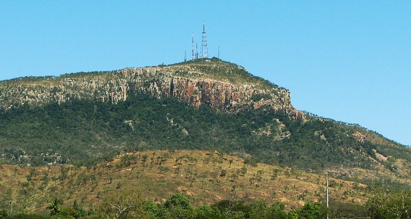
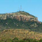
Mount Stuart, Queensland Guide
- Elevation: 584
- Difficulty: -
- Best months to climb: -
- Convenient center: -
Mount Stuart, Queensland climbers Notes
ZUK120 from AUSTRALIA writes:
Walked up and back via the road. The bitumen radiates extra heat, it's a hot, pretty boring walk, with few snakes on the road to get you moving. Do it before sunrise, with lots of water, sunscreen and a giant hat. The views at the looks at worth the Walk.
2026-02-01 |
Click here to submit your own climbing note for Mount Stuart, Queensland
|
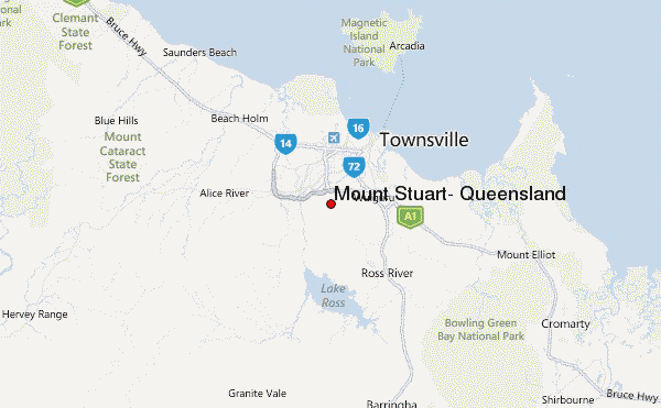
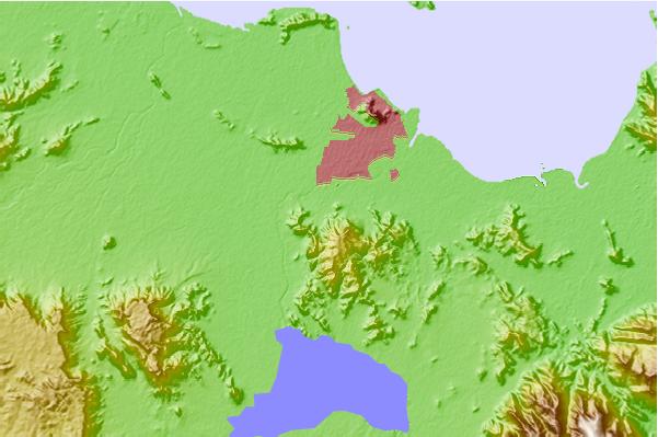
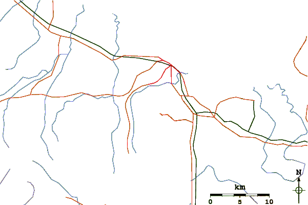
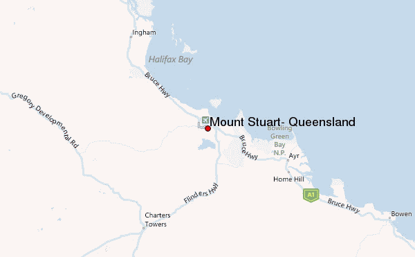
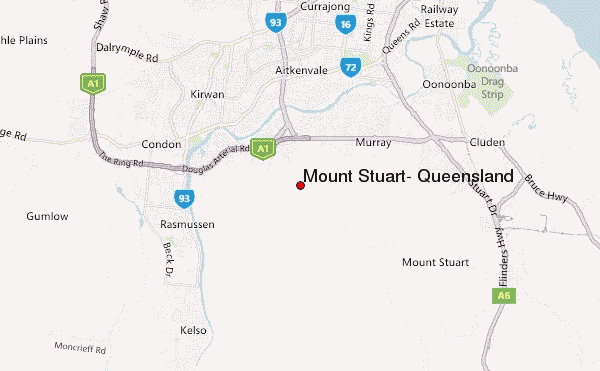
Select Mount Stuart, Queensland Location Map Detail:
Use this relief map to navigate to mountain peaks in the area of Mount Stuart, Queensland.
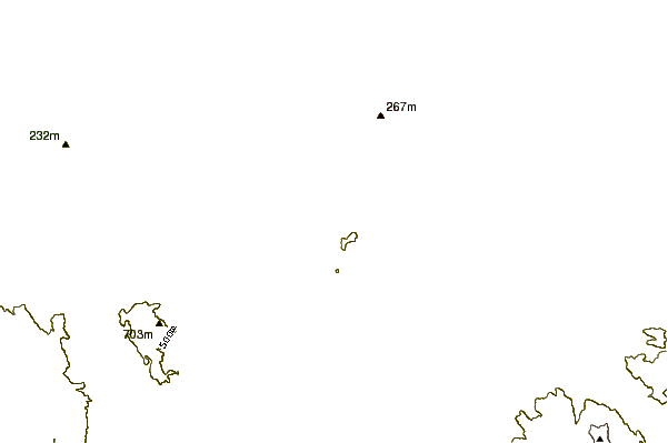
10 other mountain peaks closest to Mount Stuart, Queensland:
 Mount Stuart, Queensland – Climbing, Hiking & Mountaineering information