Khustup Guide
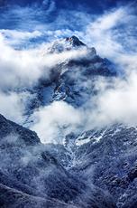
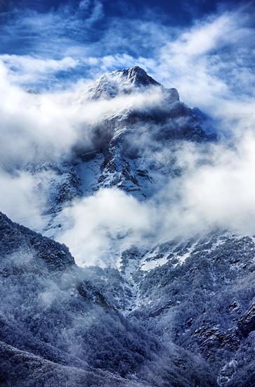
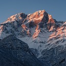
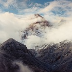
Khustup
Photo credit: Hayk Barseghyan
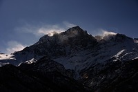
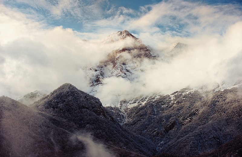
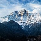
Khustup
Photo credit: Hayk Barseghyan
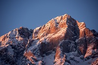
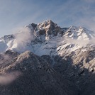
Khustup
Photo credit: Hayk Barseghyan

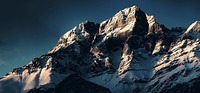
Khustup
Photo credit: Hayk Barseghyan
Khustup
Photo credit: Hayk Barseghyan
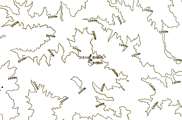
- Elevation: 3206
- Difficulty: -
- Best months to climb: -
- Convenient center: -
Khustup climbers Notes
Hayk Barseghyan from ARMENIA writes:
Khustup has 2 summits
There are 3 Tracks for the highest summit.
Easiest track is by village call Shishkert.
You can drive car by this route to the bottom of summit.
That road is open from June to October
Second Track is by abandoned village called Nafcha. Road is open from May To November
Third Track is most beautiful and hard. You mist visit to Village Called Verin Vachagan, and then continue road until the end 1500 m above the sea (Road is open all year).
2023-01-07 |
Click here to submit your own climbing note for Khustup
|
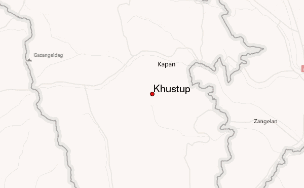
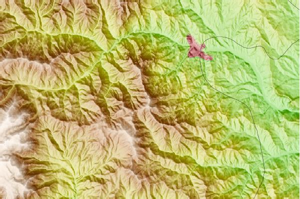
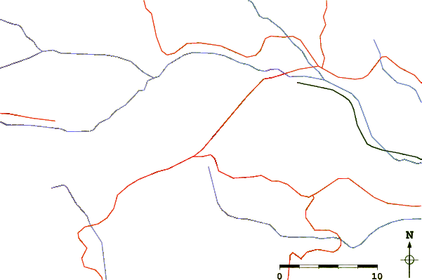
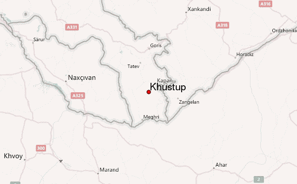
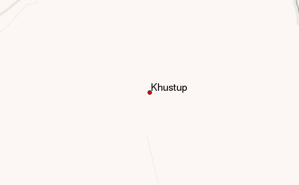
Select Khustup Location Map Detail:
Use this relief map to navigate to mountain peaks in the area of Khustup.
10 other mountain peaks closest to Khustup:
 Khustup – Climbing, Hiking & Mountaineering information


