Eynali Guide
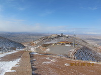
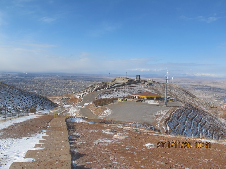
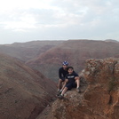
Eynali
Photo credit: Akbar Rezvaniyeh
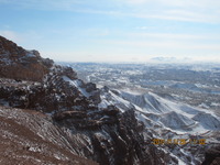
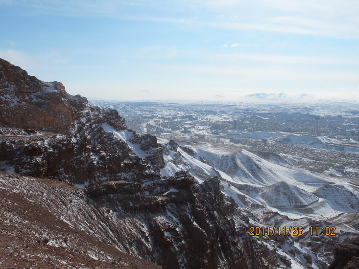
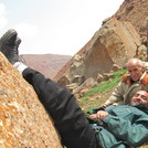
Eynali
Photo credit: Akbar Rezvaniyeh

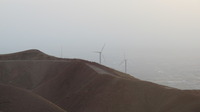
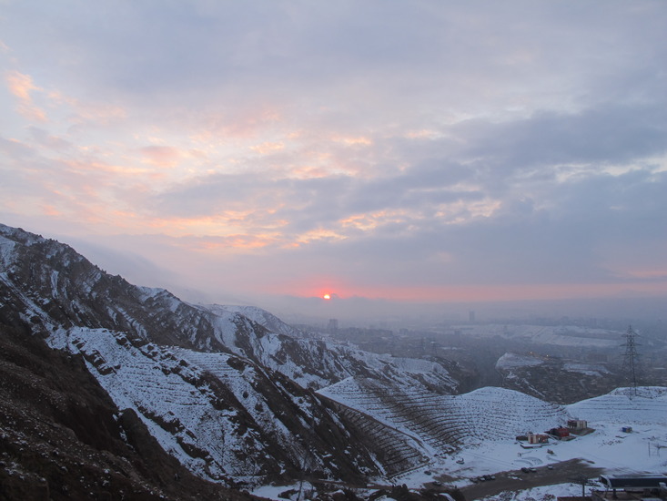
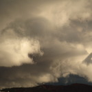
Eynali
Photo credit: akbarrezvaniyeh
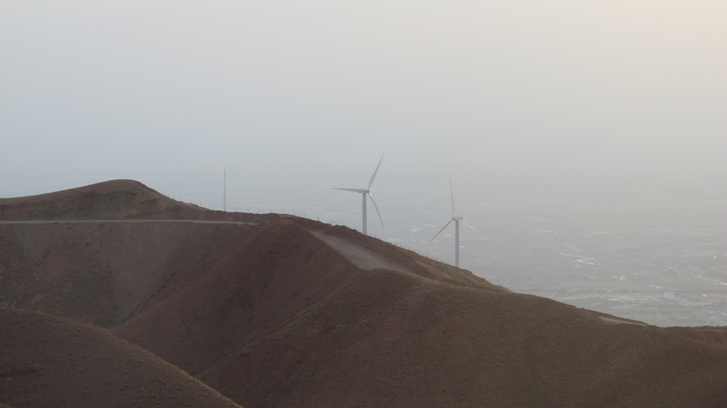
Eynali
Photo credit: Akbar Rezvaniyeh
- Elevation: 1800
- Difficulty: -
- Best months to climb: -
- Convenient center: -
Eynali climbers Notes
Hossein from IRAN writes:
Eynali in the north of Tabriz cab be reached on foot by only 30 min. walk. Is also available by car. There are 2 shops selling tea, beverages, biscuits etc. There you can find a place for exercises. A pool for keeping dolphins is under construction.
2016-09-11 |
Click here to read 1 more climbing note for Eynali or submit your own
|
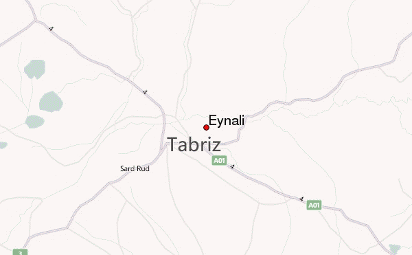
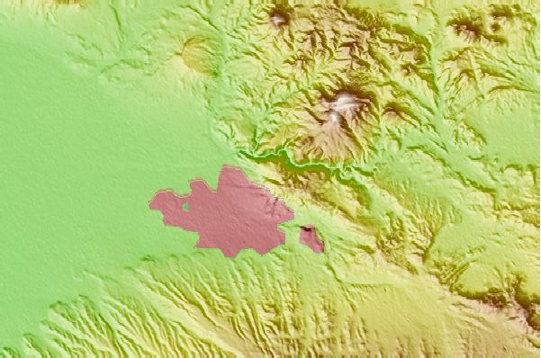
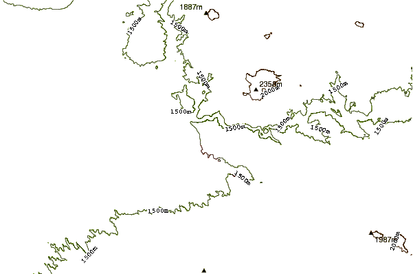
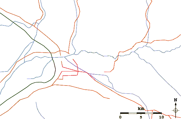
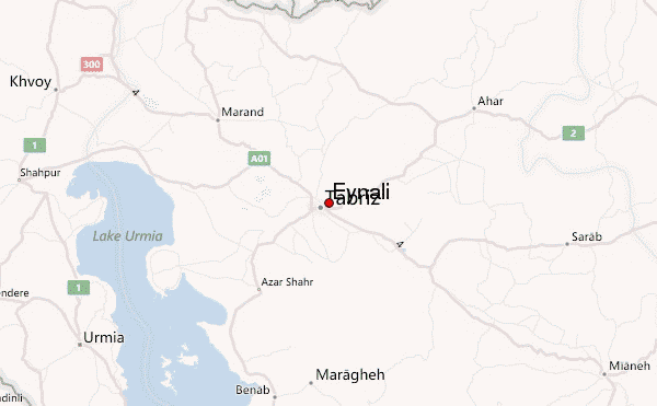
Select Eynali Location Map Detail:
Use this relief map to navigate to mountain peaks in the area of Eynali.
10 other mountain peaks closest to Eynali:
 Eynali – Climbing, Hiking & Mountaineering information

