Keokradong Guide
- Elevation: 1230
- Difficulty: -
- Best months to climb: -
- Convenient center: -
Keokradong climbers Notes
jack1971 from BANGLADESH writes:
You can start your journey from Ruma Bazar, it will take around 8hrs to reach Bogha Lake (where community accommodations are available, but you have to be friendly with them). Later on you can start for Keokradong, that will take around 3hrs. You can enjoy the hospitality of Bawm community at Bogha lake.
2010-08-20 |
Click here to submit your own climbing note for Keokradong
|
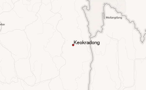
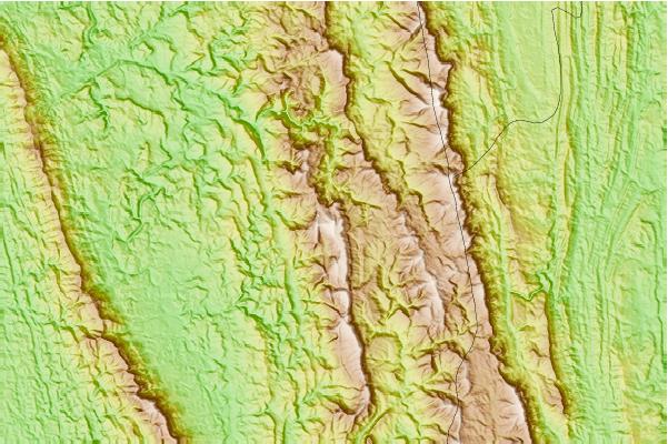
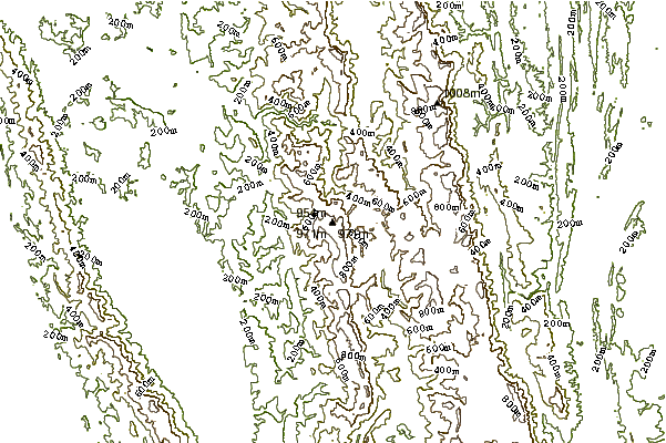
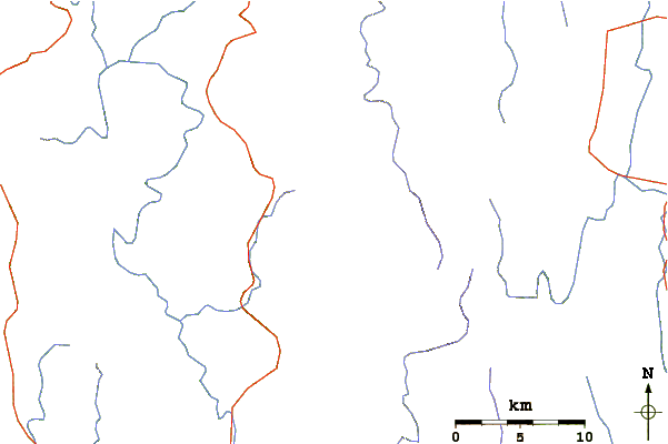
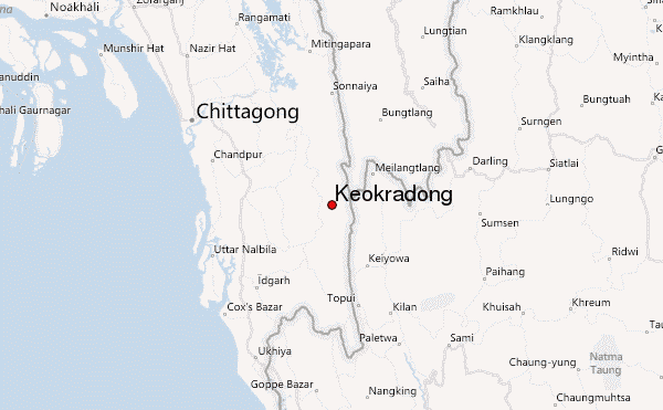
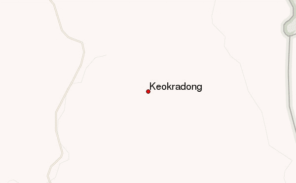
Select Keokradong Location Map Detail:
Use this relief map to navigate to mountain peaks in the area of Keokradong.
10 other mountain peaks closest to Keokradong:
 Keokradong – Climbing, Hiking & Mountaineering information