هرم Guide
هرم
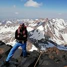
Photo credit: joseph

هرم
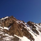
Photo credit: joseph

هرم
Photo credit: joseph

هرم
Photo credit: kya
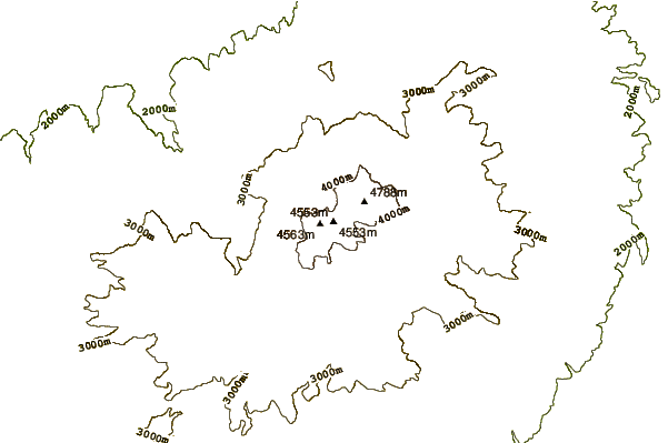
- Elevation: 4587
- Difficulty: Scramble
- Best months to climb: June, July, August, September
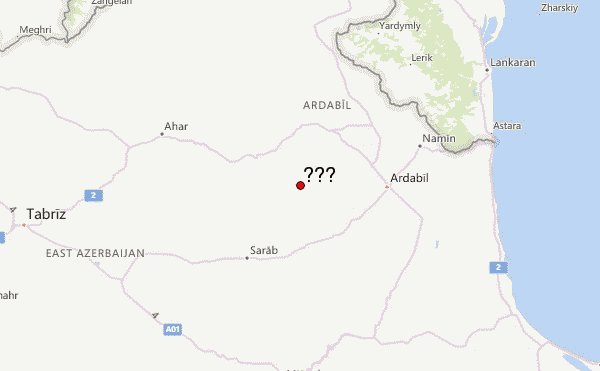
- Convenient center: Ardabil
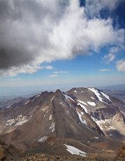
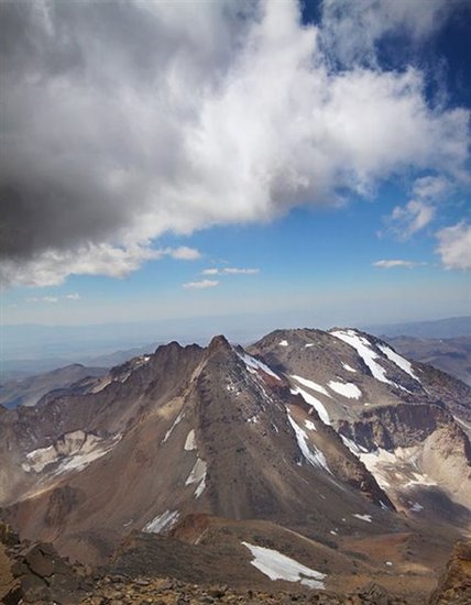
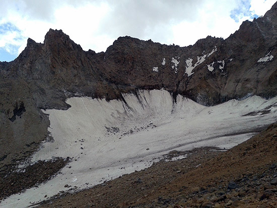
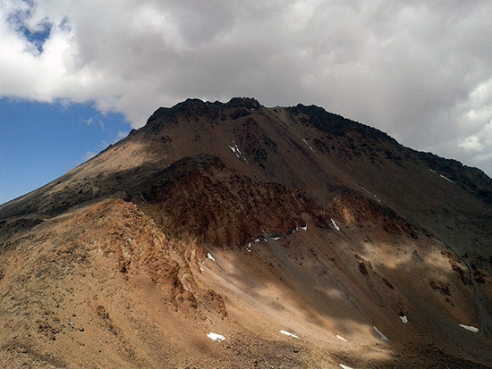
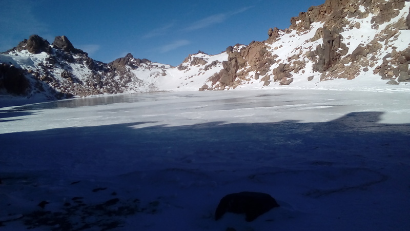
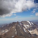
The MtHeram is in the southface of famous crater of Mt Sabalan 4811 m .Mt Heram are three peaks that from south to north peak3,4600m,peak2,4650m,peak1,4500m. It has big glacier on the westface of mountain and so are different rout to climbing.Edge rout,ridge rout,and wall rout,and others rout.
هرم climbers Notes
Salman Mohammadi from IRAN writes:
You need to be a skilled climber to climb this mountain. There are lots of loosen big rocks around. There is huge temperature changes so rocks always could be exposed to weather and ready to break off. Check stability before grabbing any hold. For climbing its 3 summit you need to know the route over the divide and ridges.
2019-06-22 |
Click here to read 1 more climbing note for هرم or submit your own
|
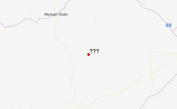
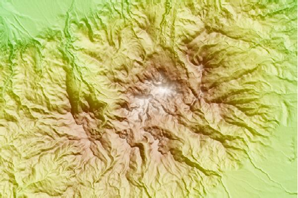
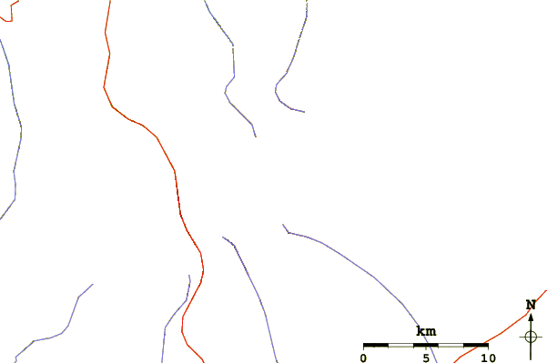
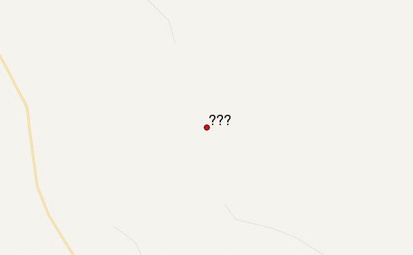
Select هرم Location Map Detail:
Use this relief map to navigate to mountain peaks in the area of هرم.
10 other mountain peaks closest to هرم:
 هرم (Heram) – Climbing, Hiking & Mountaineering information