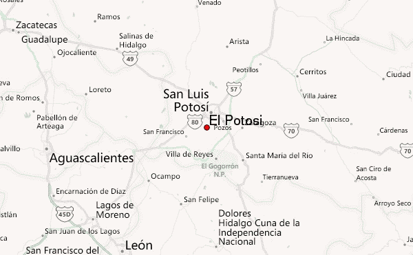
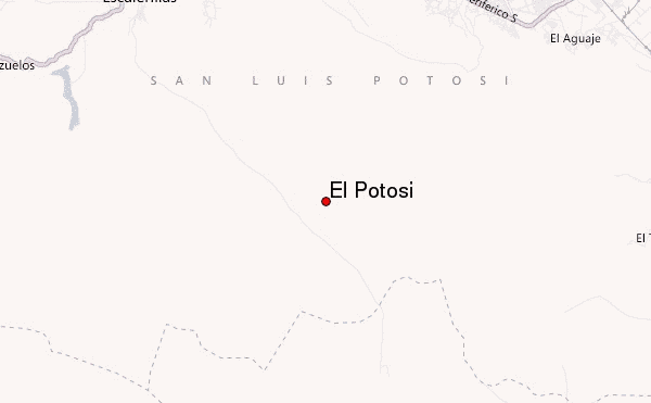
– Lat/Long: 22.05° N 101.02° W
 El Potosi – Climbing, Hiking & Mountaineering information

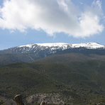
El Potosi Guide
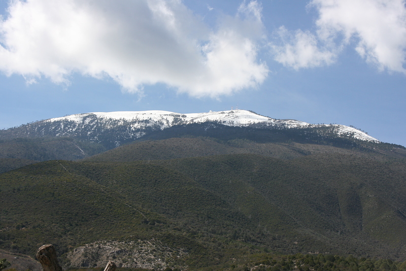
- Elevation: 3650
- Difficulty: Walk up
- Best months to climb: January, February, November, December
- Convenient center: Saltillo, Coahuila
El Potosi climbers NotesBe the first to submit your climbers note! Please submit any useful information about climbing El Potosi that may be useful to other climbers. Consider things such as access and accommodation at the base of El Potosi, as well as the logistics of climbing to the summit. |
| Select a
mountain summit from the menu |
||
|
Select a Mountain Summit
|
||
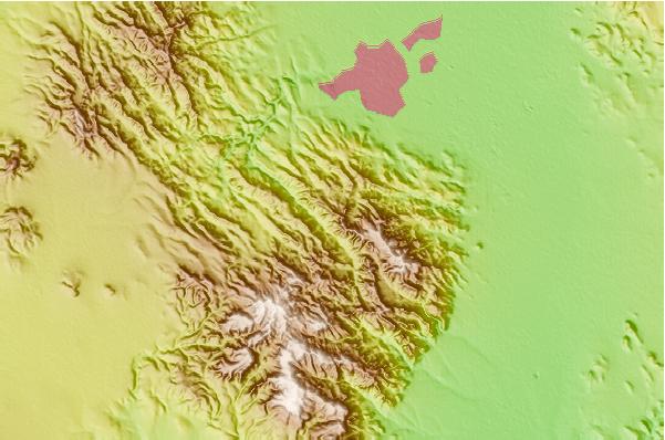
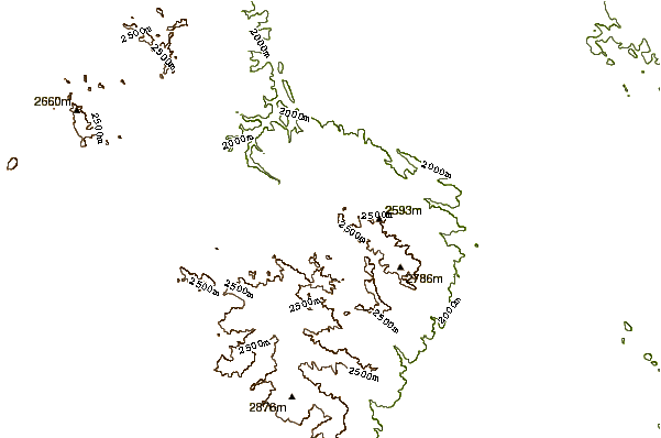
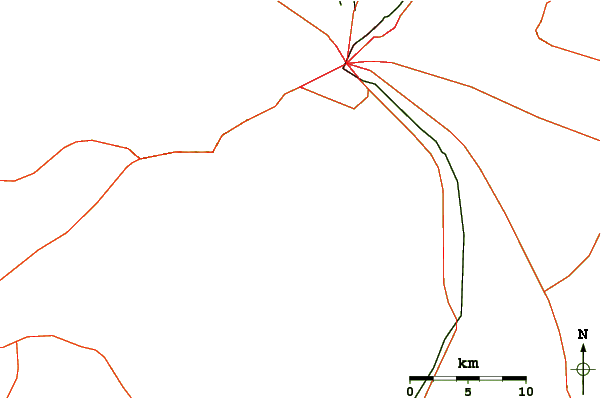
Use this relief map to navigate to mountain peaks in the area of El Potosi.
10 other mountain peaks closest to El Potosi:
| 1. | La Fragua Bike Park (2852 m) | 108.5 km |
| 2. | Peña de Bernal (2510 m) | 182.3 km |
| 3. | Jocotitlan (3950 m) | 290.1 km |
| 4. | Infiernillo (3260 m) | 296.1 km |
| 5. | Bosque La Primavera Trail Network (2269 m) | 305.9 km |
| 6. | Paricutin or Michoacan-guanajuato (2800 m) | 312.2 km |
| 7. | Cerro Potosi (3700 m) | 319.7 km |
| 8. | Camaleon Bike Park (3530 m) | 331.0 km |
| 9. | Parque Sierra Morelos Trail Network (2920 m) | 333.9 km |
| 10. | Sierra De Las Pitos (3000 m) | 334.2 km |