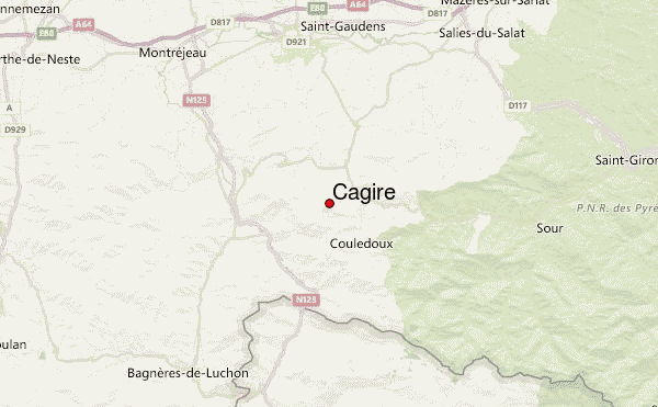
– Lat/Long: 42.95° N 0.77° E
 Cagire – Climbing, Hiking & Mountaineering information

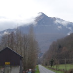
Cagire Guide
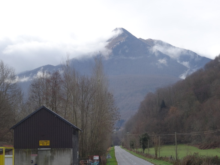
- Elevation: 1912
- Difficulty: Walk up
- Best months to climb: May, June, July, August, September, October
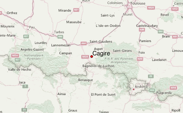
- Convenient center: Saint-Gaudens
Cagire climbers NotesBe the first to submit your climbers note! Please submit any useful information about climbing Cagire that may be useful to other climbers. Consider things such as access and accommodation at the base of Cagire, as well as the logistics of climbing to the summit. |
| Select a
mountain summit from the menu |
||
|
Select a Mountain Summit
|
||
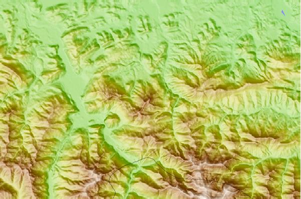
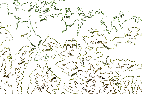
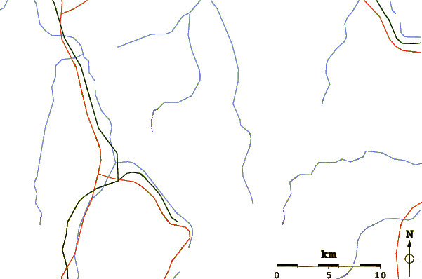
Use this relief map to navigate to mountain peaks in the area of Cagire.
10 other mountain peaks closest to Cagire:
| 1. | Station du Mourtis (2531 m) | 4.4 km |
| 2. | Pic du Gar (1785 m) | 5.7 km |
| 3. | Refugio ERA HONERIA (1015 m) | 14.6 km |
| 4. | Refugio de las Minas de Liat (2270 m) | 19.0 km |
| 5. | Refugio ARTIGUETES (1580 m) | 19.5 km |
| 6. | Cabana del Pas Estret (2070 m) | 19.8 km |
| 7. | Mauberm (2880 m) | 21.9 km |
| 8. | Refugio CALHAUS (1929 m) | 23.0 km |
| 9. | Refugio BASA DE OLLES (1625 m) | 25.7 km |
| 10. | Refugio MONTGARRI (1635 m) | 27.9 km |