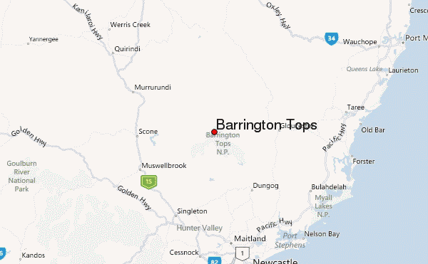
Barrington Tops Guide
- Elevation: 1585
- Difficulty: -
- Best months to climb: -
- Convenient center: Gloucester
Barrington Tops climbers Notes
Erik from AUSTRALIA writes:
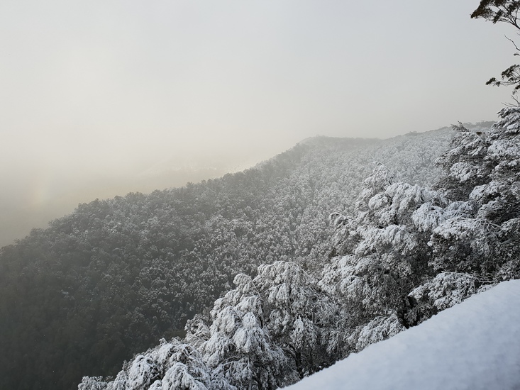
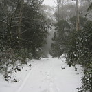
Best to go from Feb-Nov, aka anytime that's not summer as the UV gets pretty bad once you're up the top. In winter it has a chance of snowing and almost always goes below zero so I'd recommend bringing really warm clothes.
2025-04-09 |
Click here to submit your own climbing note for Barrington Tops
|
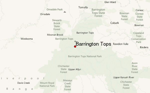
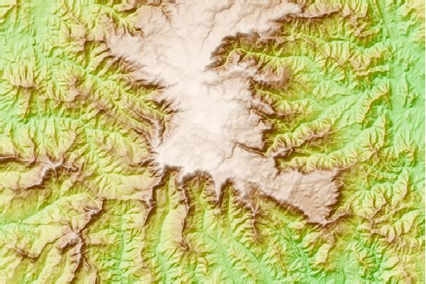
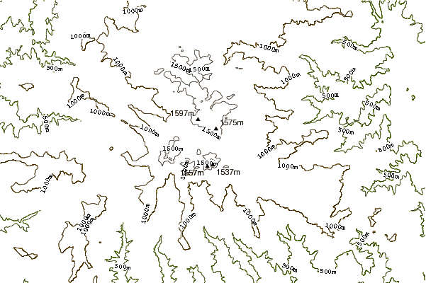
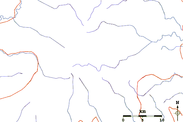
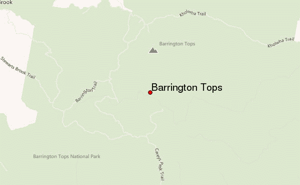
Select Barrington Tops Location Map Detail:
Use this relief map to navigate to mountain peaks in the area of Barrington Tops.
10 other mountain peaks closest to Barrington Tops:
 Barrington Tops – Climbing, Hiking & Mountaineering information