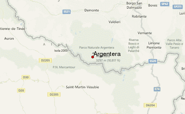
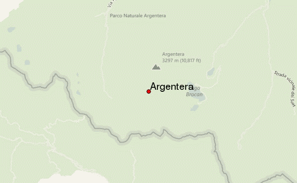
– Lat/Long: 44.17° N 7.30° E
 Argentera – Climbing, Hiking & Mountaineering information

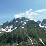
Argentera Guide
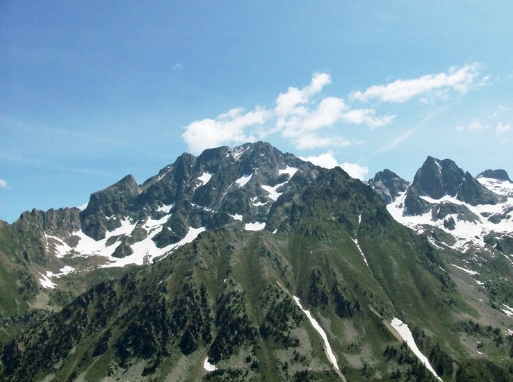
- Elevation: 3297
- Difficulty: Scramble
- Best months to climb: July, August, September
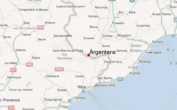
- Convenient center: Valdieri, Italy
Argentera climbers NotesBe the first to submit your climbers note! Please submit any useful information about climbing Argentera that may be useful to other climbers. Consider things such as access and accommodation at the base of Argentera, as well as the logistics of climbing to the summit. |
| Select a
mountain summit from the menu |
||
|
Select a Mountain Summit
|
||
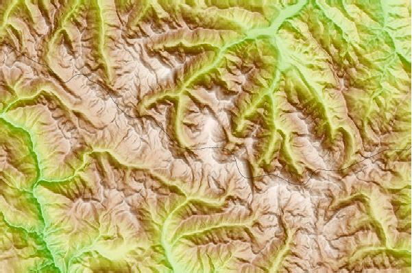
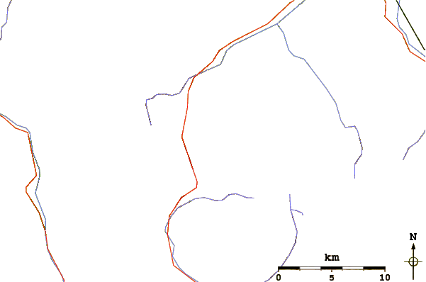
Use this relief map to navigate to mountain peaks in the area of Argentera.
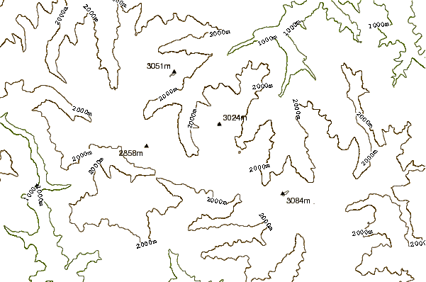
10 other mountain peaks closest to Argentera:
| 1. | Rifugio Remondino Franco (2430 m) | 0.5 km |
| 2. | Bivacco Franco/lorenzo/giorgio Al Baus (2568 m) | 1.2 km |
| 3. | Rifugio Bozano Lorenzo (2453 m) | 2.1 km |
| 4. | Rifugio Figari Bartolomeo/genova (2015 m) | 2.8 km |
| 5. | Bivacco Varrone Silvio (2235 m) | 2.8 km |
| 6. | Rifugio Buzzi Alvaro/morelli Costanzo (2351 m) | 2.9 km |
| 7. | Bivacco Guiglia Jacques (2437 m) | 3.8 km |
| 8. | Bivacco Costi Mauro/falchero Marco (2275 m) | 4.9 km |
| 9. | Bivacco Gandolfo Nicolino (1847 m) | 5.3 km |
| 10. | Rifugio Ellena Gianni/soria Edoardo (1840 m) | 5.9 km |