– Lat/Long: 45.55° N 6.85° E
 Aiguille Rouge
Weather Forecast, FranceIssued: 1 pm Mon 03 Aug Local TimeUpdates in: hr min sUpdate imminent
Issued: 1 pm Mon 03 Aug Local Time
Updates in:
Update imminent hr min s

Issued: 1 pm Mon 03 Aug Local Time
Updates in:
Update imminent hr min s
Days 1–4 Weather SummaryModerate rain (total 16mm), heaviest on Wed afternoon. Warm (max 28°C on Mon afternoon, min 20°C on Mon night). Wind will be generally light. | Days 5–7 Weather SummaryLight rain (total 10mm), mostly falling on Thu afternoon. Warm (max 26°C on Thu afternoon, min 18°C on Thu night). Wind will be generally light. | ||||||||||||||||
Mon 3 | Tuesday 4 | Wednesday 5 | Thursday 6 | Friday 7 | Saturday 8 | ||||||||||||
PM | night | AM | PM | night | AM | PM | night | AM | PM | night | AM | PM | night | AM | PM | night | |
risk tstorm | risk tstorm | rain shwrs | risk tstorm | rain shwrs | clear | risk tstorm | risk tstorm | clear | mod. rain | rain shwrs | clear | risk tstorm | risk tstorm | clear | rain shwrs | clear | |
Cloud base (m) | 3550 | 6100 | 3400 | 8900 | 3450 | 4050 | 2300 | 2300 | 3400 | ||||||||
km/h | |||||||||||||||||
 |  |  |  |  |  | ||||||||||||
— | — | — | — | — | — | — | — | — | — | — | — | — | — | — | — | — | |
mm | 1 | 1.9 | 0.3 | 3 | 4 | — | 4 | 3 | — | 5 | 4 | — | 0.5 | 0.2 | — | 0.1 | — |
max °C | 28 | 24 | 26 | 26 | 23 | 24 | 26 | 23 | 25 | 26 | 20 | 22 | 25 | 22 | 23 | 26 | 23 |
min °C | 25 | 20 | 21 | 26 | 20 | 21 | 25 | 21 | 21 | 20 | 18 | 18 | 24 | 19 | 19 | 26 | 20 |
chill °C | 25 | 20 | 21 | 26 | 20 | 21 | 25 | 21 | 21 | 20 | 18 | 18 | 24 | 19 | 19 | 26 | 20 |
Freezing level m | 4600 | 4500 | 4500 | 4500 | 4450 | 4350 | 4450 | 4450 | 4400 | 4200 | 4250 | 4200 | 4350 | 4350 | 4350 | 4500 | 4500 |
— | — | 6:18 | — | — | 6:20 | — | — | 6:20 | — | — | 6:22 | — | — | 6:22 | — | — | |
— | 8:59 | — | — | 8:57 | — | — | 8:55 | — | — | 8:53 | — | — | 8:52 | — | — | 8:52 | |
Loading...
Aiguille Rouge Weather (Days 0-3):
The weather forecast for Aiguille Rouge is: Moderate rain (total 16mm), heaviest on Wed afternoon. Warm (max 28°C on Mon afternoon, min 20°C on Mon night). Wind will be generally light.
Aiguille Rouge Weather (Days 3-6):
Light rain (total 10mm), mostly falling on Thu afternoon. Warm (max 26°C on Thu afternoon, min 18°C on Thu night). Wind will be generally light.
This table gives the weather forecast for Aiguille Rouge at the specific elevation of 1000 m. Our advanced weather models allow us to provide distinct weather forecasts for several elevations of Aiguille Rouge. To see the weather forecasts for the other elevations, use the tab navigation above the table. For a wider overview of the weather, consult the Weather Map of France.
| Weather Station | Temp. | Weather | Wind | Gusts | Cloud / Visibility |
|---|---|---|---|---|---|
lightning 7km SE of Seez | |||||
lightning 6km ENE of Belle-Plagne | |||||
Bourg ST -Maurice | |||||
lightning 8km S of Morgex | |||||
lightning 8km SW of Courmayeur | |||||
thunderstorm affecting Saint-Bon-Tarentaise | |||||
Arrivee | |||||
Lac Ariondaz | |||||
ChaletInter | |||||
Eclipse |
* NOTE: not all weather observatories update at the same frequency which is the reason why some locations may show data from stations that are further away than known closer ones.
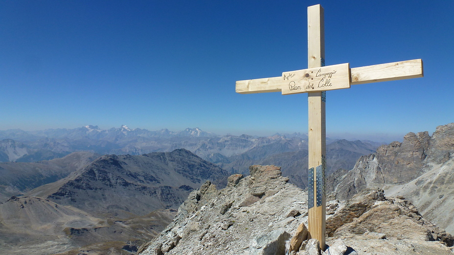
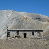
Aiguille Rouge Photos
View all
Graian Alps photos (56) |
Alps photos (1485) |
photos from mountains in France (302) |
all photos
 Upload new photo
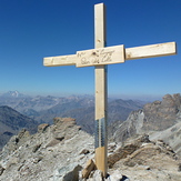
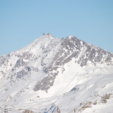
Punta Sommeiller
Punta Sommeiller
Aiguille Rouge