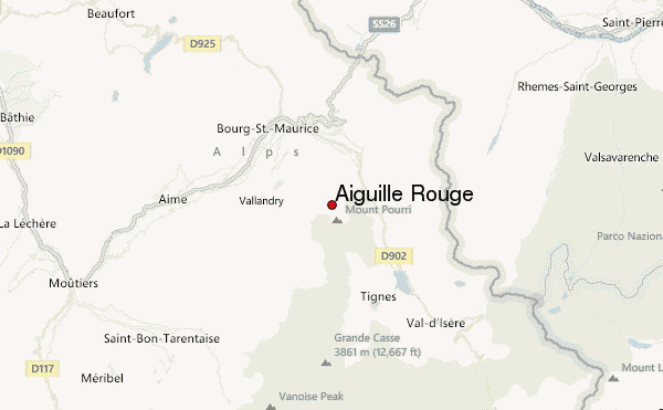
– Lat/Long: 45.55° N 6.85° E
 Aiguille Rouge – Climbing, Hiking & Mountaineering information

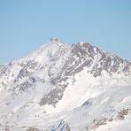
Aiguille Rouge Guide
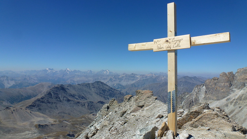
- Elevation: 3226
- Difficulty: -
- Best months to climb: -
- Convenient center: -
Aiguille Rouge climbers NotesBe the first to submit your climbers note! Please submit any useful information about climbing Aiguille Rouge that may be useful to other climbers. Consider things such as access and accommodation at the base of Aiguille Rouge, as well as the logistics of climbing to the summit. |
| Select a
mountain summit from the menu |
||
|
Select a Mountain Summit
|
||
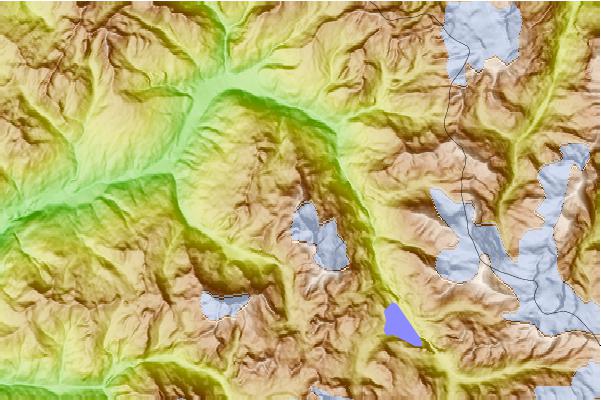
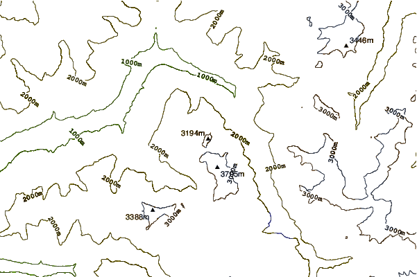
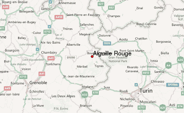
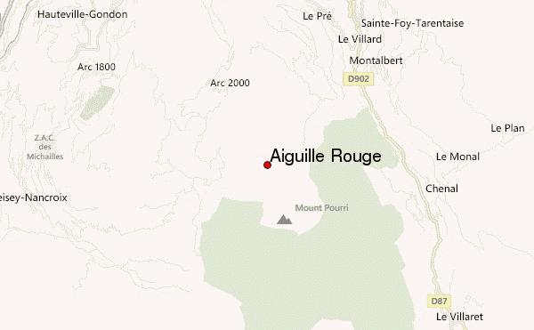
Use this relief map to navigate to mountain peaks in the area of Aiguille Rouge.
10 other mountain peaks closest to Aiguille Rouge:
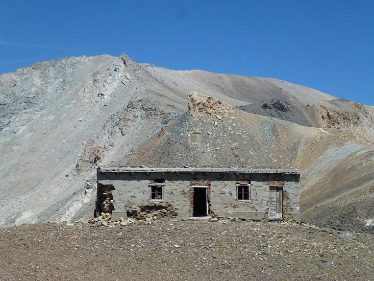
| 1. | Refuge de Turia (2427 m) | 1.9 km |
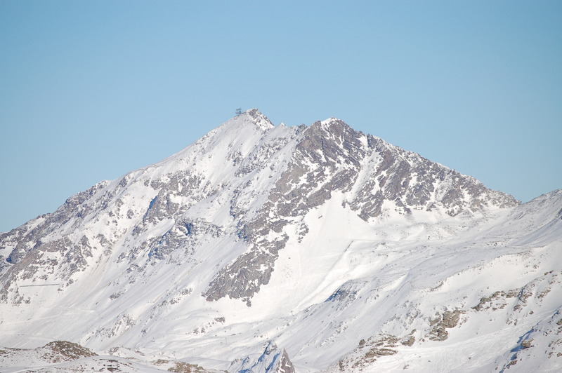
| 2. | Mont Turia (3650 m) | 2.4 km |
| 3. | Mont Pourri (3779 m) | 2.5 km |
| 4. | Dôme de la Sache (3601 m) | 4.9 km |
| 5. | Dôme des Platières (3473 m) | 5.0 km |
| 6. | Refuge de La Martin (2154 m) | 5.1 km |
| 7. | Refuge de Rosuel (1556 m) | 5.2 km |
| 8. | Dôme des Pichères (3319 m) | 7.8 km |
| 9. | Bellecôte (3417 m) | 8.4 km |
| 10. | Refuge du Col du Palet (2587 m) | 10.4 km |