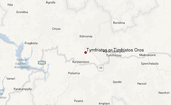
– Lat/Long: 38.95° N 21.82° E
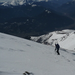
 Tymfristos or Timfristós Óros (Tymfristos or Timfristos Oros) – Climbing, Hiking & Mountaineering information

Tymfristos or Timfristós Óros Guide
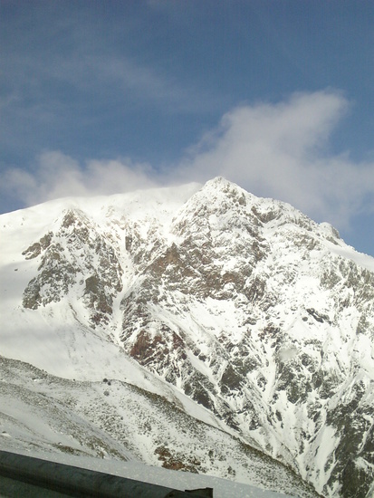
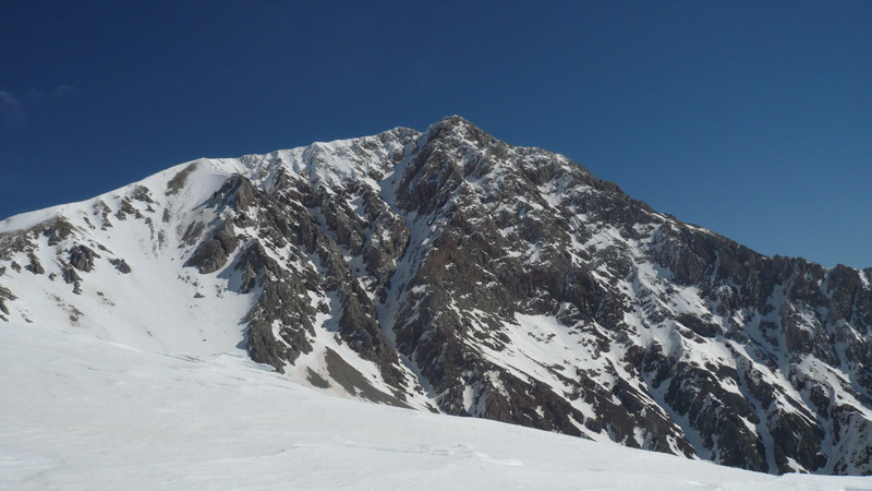
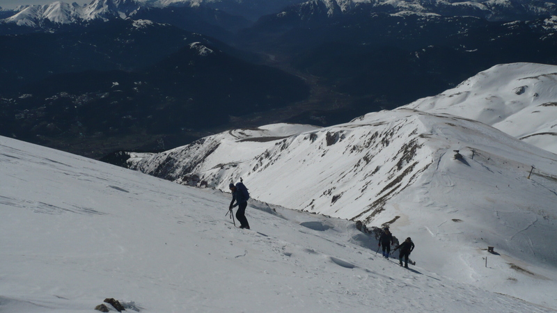
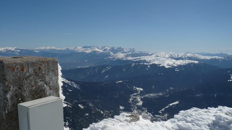
- Elevation: 2315
- Difficulty: -
- Best months to climb: -
- Convenient center: -
Tymfristos or Timfristós Óros climbers NotesBe the first to submit your climbers note! Please submit any useful information about climbing Tymfristos or Timfristós Óros that may be useful to other climbers. Consider things such as access and accommodation at the base of Tymfristos or Timfristós Óros, as well as the logistics of climbing to the summit. |
| Select a
mountain summit from the menu |
||
|
Select a Mountain Summit
|
||
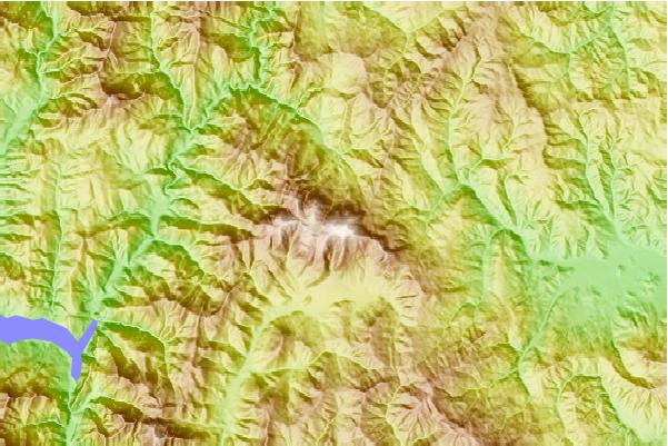
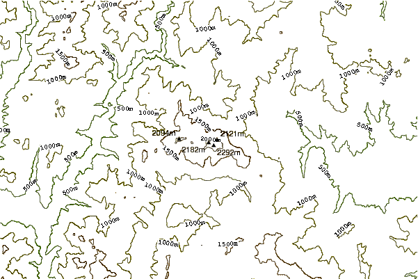
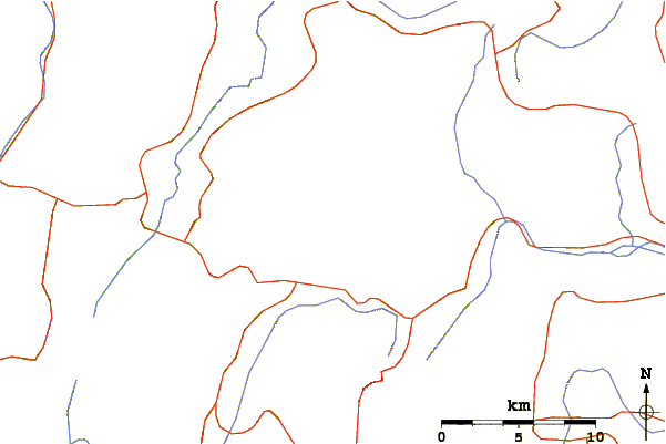
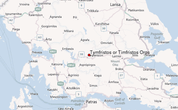
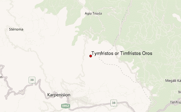
Use this relief map to navigate to mountain peaks in the area of Tymfristos or Timfristós Óros.
10 other mountain peaks closest to Tymfristos or Timfristós Óros:
| 1. | Καταφύγιο Βελουχιού (1869 m) | 1.3 km |
| 2. | Καταφύγιο Καλιακούδας (1411 m) | 16.6 km |
| 3. | Το σπίτι του Διαβάτη (1162 m) | 19.1 km |
| 4. | Svoni (2042 m) | 24.4 km |
| 5. | Καταφύγιο Οξιάς (1656 m) | 24.5 km |
| 6. | Καταφύγιο Ελατάκος (1457 m) | 32.6 km |
| 7. | Panaitoliko (mountain range) (1926 m) | 37.5 km |
| 8. | Καταφύγιο Αγράφων (1536 m) | 38.4 km |
| 9. | Καταφύγιο ΟΧΟΚ (1500 m) | 38.5 km |
| 10. | Καταφύγιο Βαρδουσίων (ΕΟΣ) (1918 m) | 39.7 km |