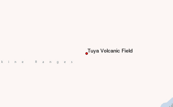
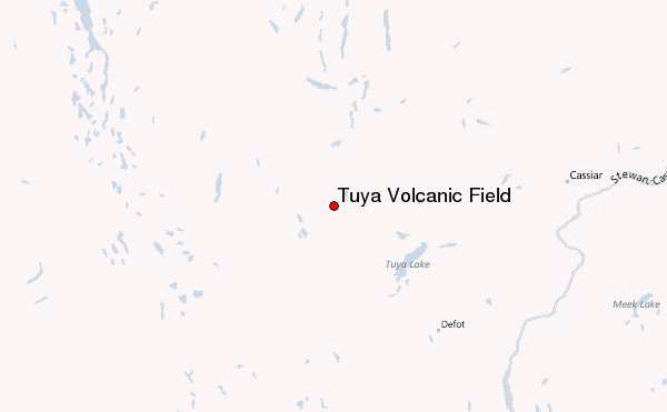
– Lat/Long: 59.22° N 130.95° W
 Tuya Volcanic Field – Climbing, Hiking & Mountaineering information

Tuya Volcanic Field Guide
- Elevation: 2123
- Difficulty: -
- Best months to climb: -
- Convenient center: -
Tuya Volcanic Field climbers NotesBe the first to submit your climbers note! Please submit any useful information about climbing Tuya Volcanic Field that may be useful to other climbers. Consider things such as access and accommodation at the base of Tuya Volcanic Field, as well as the logistics of climbing to the summit. |
10 other mountain peaks closest to Tuya Volcanic Field:
| 1. | Mathews Tuya (1676 m) | 15.2 km |
| 2. | Caribou Tuya (1770 m) | 20.4 km |
| 3. | Tuya Butte (1685 m) | 23.7 km |
| 4. | Ash Mountain (British Columbia) (2125 m) | 25.9 km |
| 5. | Isspah Butte (1673 m) | 35.1 km |
| 6. | Meehaz Mountain (1608 m) | 37.2 km |
| 7. | Kawdy Mountain (1936 m) | 40.8 km |
| 8. | Toozaza Peak (2182 m) | 41.8 km |
| 9. | Cottonwood Peak (1640 m) | 44.7 km |
| 10. | Nuthinaw Mountain (1732 m) | 48.0 km |