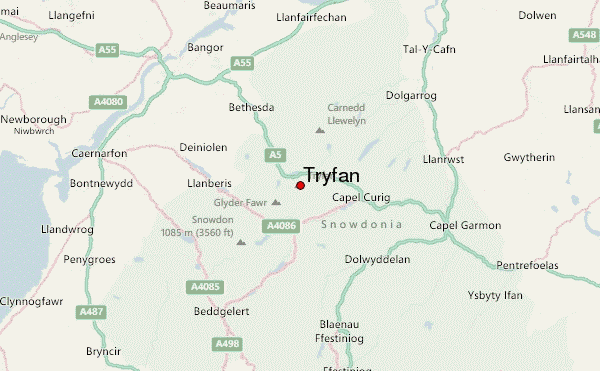
Tryfan Guide
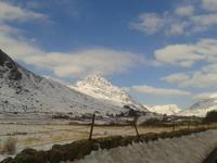
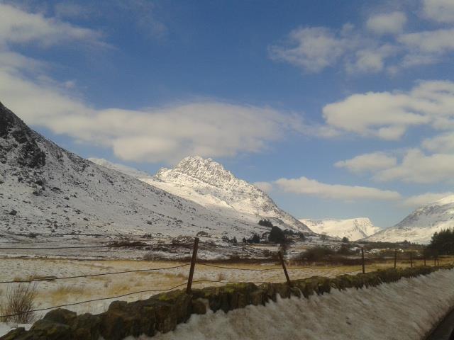
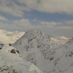
Tryfan
Photo credit: Tom Bancroft
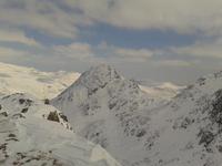
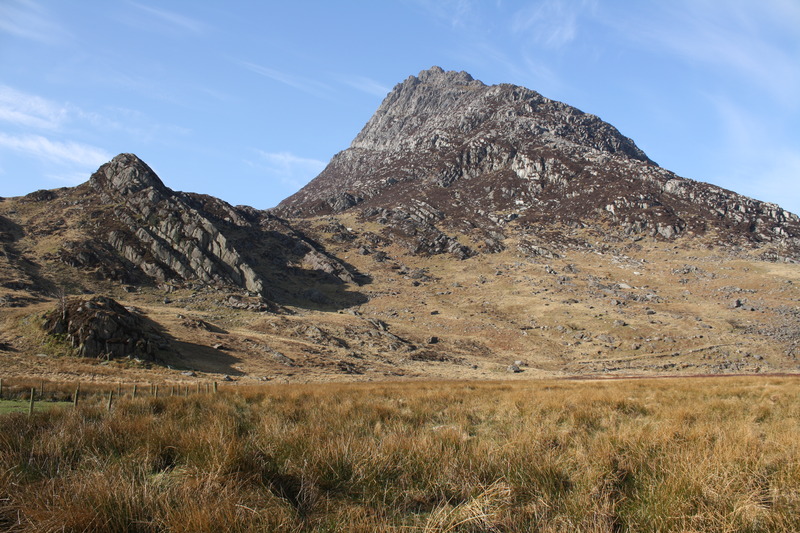
Tryfan
Photo credit: Tom Bancroft
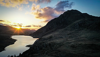
Tryfan
Photo credit: Tom Bancroft
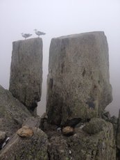
Tryfan
Photo credit: Nicholas Russill
- Elevation: 915
- Difficulty: Scramble
- Best months to climb: January, February, April, May, June, July, August, September, October, November, December
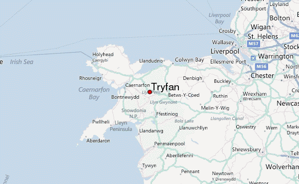
- Convenient center: Bethesda / Llanberis
Tryfan climbers Notes
Kelly from UNITED KINGDOM writes:
Tryfan is a great mountain. Heather terrace on the east side is the best area for sun with lots of great routes. Its a long climb down so be prepared to give yourself 1-3 hours depending on the decent route. Avoid decending in gullies, this can be very dangerous. The weather can change rapidly so be prepared, take water, there is no fresh water source anywhere on Tryfan, days can be long and water is needed. The West also offers spectacular climbing, but more than often sat in the dark cold spots of Tryfan
2026-05-27 |
Click here to read 1 more climbing note for Tryfan or submit your own
|
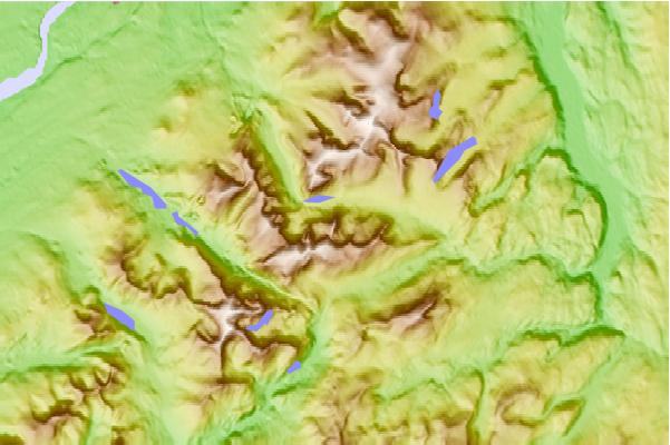
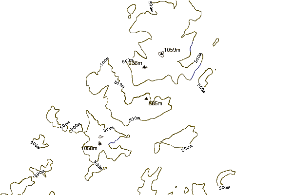
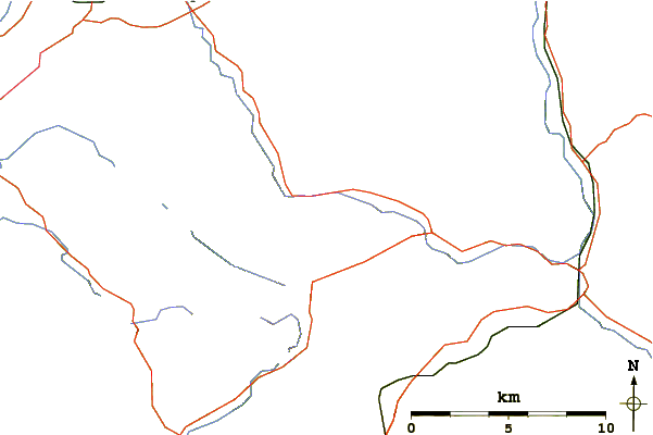
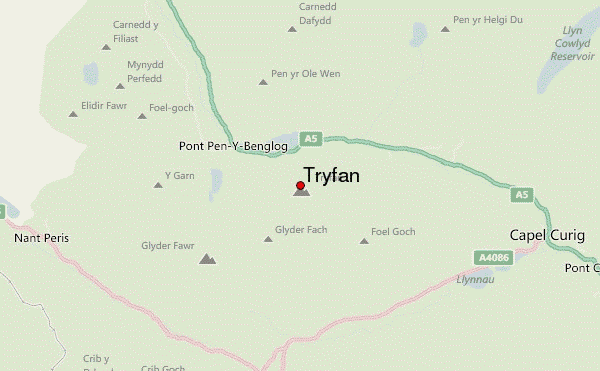
Select Tryfan Location Map Detail:
Use this relief map to navigate to mountain peaks in the area of Tryfan.
10 other mountain peaks closest to Tryfan:
 Tryfan – Climbing, Hiking & Mountaineering information


