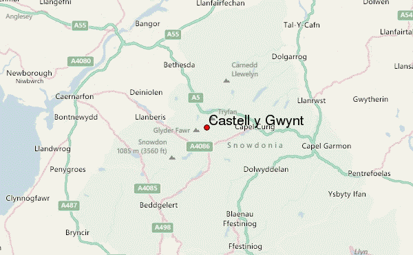
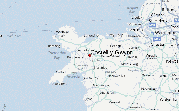
– Lat/Long: 53.10° N 4.01° W
 Castell y Gwynt – Climbing, Hiking & Mountaineering information

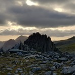
Castell y Gwynt Guide
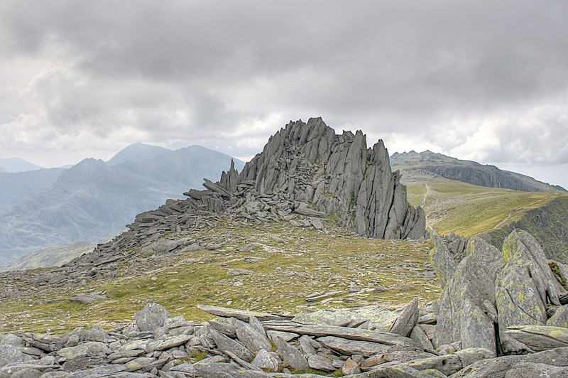
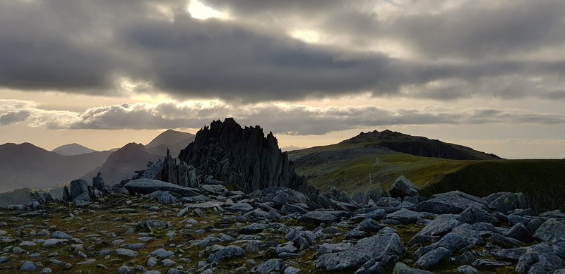
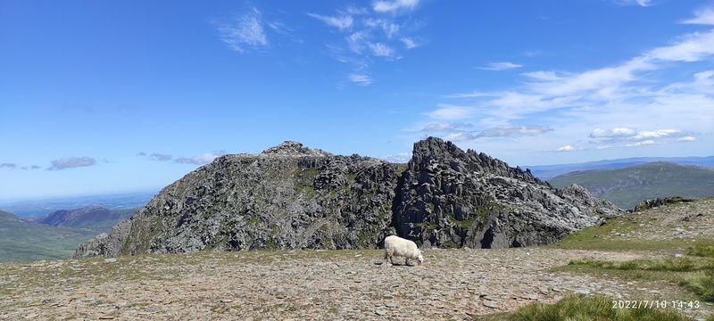
- Elevation: 972
- Difficulty: -
- Best months to climb: -
- Convenient center: -
Castell y Gwynt climbers NotesBe the first to submit your climbers note! Please submit any useful information about climbing Castell y Gwynt that may be useful to other climbers. Consider things such as access and accommodation at the base of Castell y Gwynt, as well as the logistics of climbing to the summit. |
| Select a
mountain summit from the menu |
||
|
Select a Mountain Summit
|
||
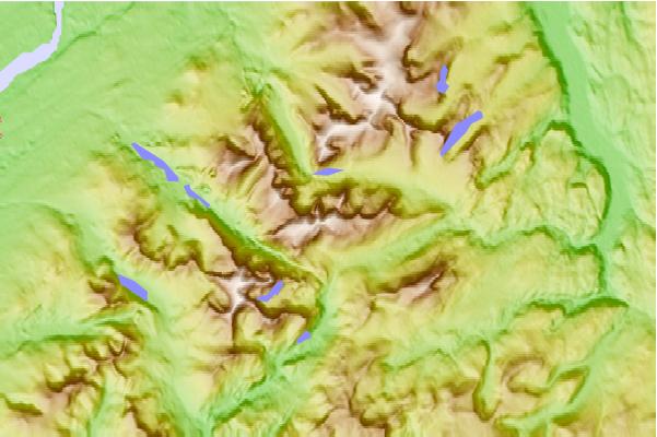
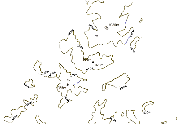
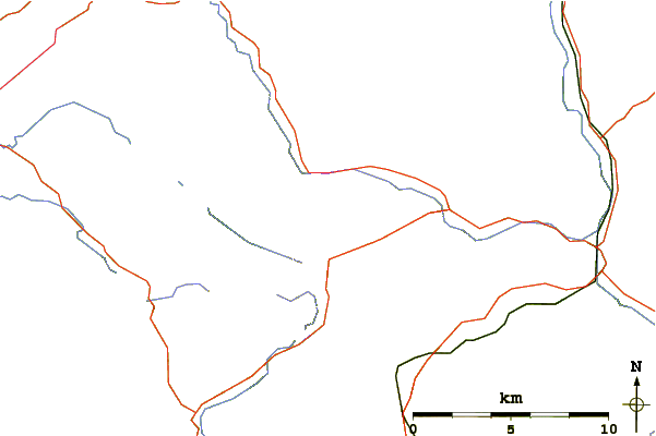
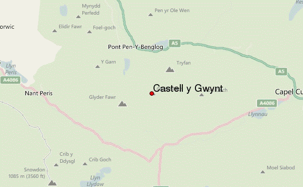
Use this relief map to navigate to mountain peaks in the area of Castell y Gwynt.
10 other mountain peaks closest to Castell y Gwynt:
| 1. | Glyder Fach (990 m) | 0.8 km |
| 2. | Tryfan (915 m) | 1.4 km |
| 3. | Glyder Fawr (999 m) | 1.5 km |
| 4. | Y Foel Goch (805 m) | 2.1 km |
| 5. | Y Garn (Glyderau) (947 m) | 2.7 km |
| 6. | Gallt yr Ogof (763 m) | 3.1 km |
| 7. | Carnedd Dafydd (1044 m) | 3.2 km |
| 8. | Crib Goch (923 m) | 4.3 km |
| 9. | Foel Meirch (800 m) | 4.7 km |
| 10. | Mynydd Perfedd (812 m) | 4.8 km |