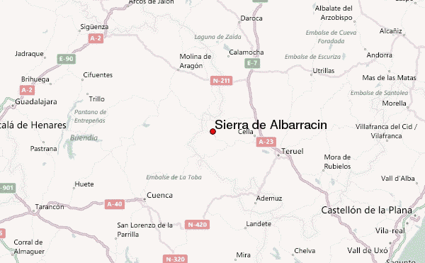
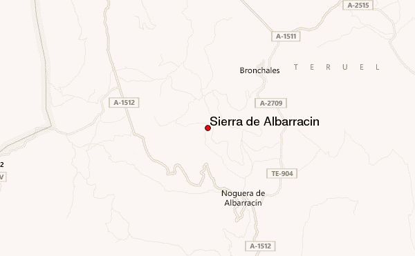
– Lat/Long: 40.49° N 1.62° W
 Sierra de Albarracín (Sierra de Albarracin) – Climbing, Hiking & Mountaineering information

Sierra de Albarracín Guide
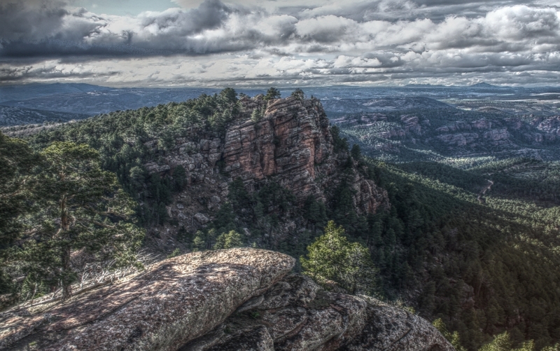
- Elevation: 1856
- Difficulty: -
- Best months to climb: -
- Convenient center: -
Sierra de Albarracín climbers NotesBe the first to submit your climbers note! Please submit any useful information about climbing Sierra de Albarracín that may be useful to other climbers. Consider things such as access and accommodation at the base of Sierra de Albarracín, as well as the logistics of climbing to the summit. |
| Select a
mountain summit from the menu |
||
|
Select a Mountain Summit
|
||
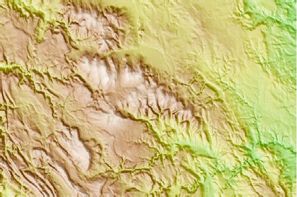
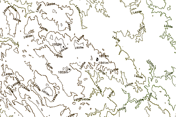
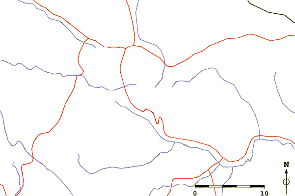
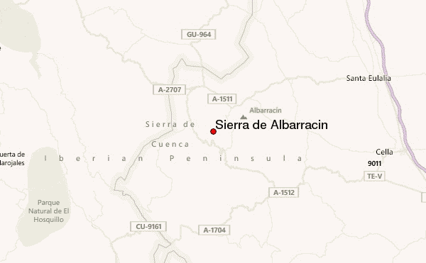
Use this relief map to navigate to mountain peaks in the area of Sierra de Albarracín.
10 other mountain peaks closest to Sierra de Albarracín:
| 1. | Refugio FUENTE DEL PUERTO (1724 m) | 3.9 km |
| 2. | Montes Universales (1935 m) | 16.3 km |
| 3. | Refugio MASIA RABITA (1260 m) | 19.4 km |
| 4. | Refugio TOCON EL (1181 m) | 19.5 km |
| 5. | Refugio MASADA DE LA LOSILLA (1348 m) | 21.6 km |
| 6. | Refugio Casilla Gea (1159 m) | 23.6 km |
| 7. | Refugio MASADA DE LA NAVA (1423 m) | 24.8 km |
| 8. | Refugio ALTO VEGA (1500 m) | 25.7 km |
| 9. | Refugio DORNAQUE (1244 m) | 27.1 km |
| 10. | Refugio ALCONERA LA (1500 m) | 29.7 km |