– Lat/Long: 57.50° N 5.41° W
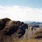
 Sgorr Ruadh – Climbing, Hiking & Mountaineering information

Sgorr Ruadh Guide

- Elevation: 962
- Difficulty: -
- Best months to climb: -
- Convenient center: -
Sgorr Ruadh climbers NotesBe the first to submit your climbers note! Please submit any useful information about climbing Sgorr Ruadh that may be useful to other climbers. Consider things such as access and accommodation at the base of Sgorr Ruadh, as well as the logistics of climbing to the summit. |
| Select a
mountain summit from the menu |
||
|
Select a Mountain Summit
|
||
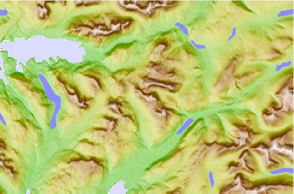
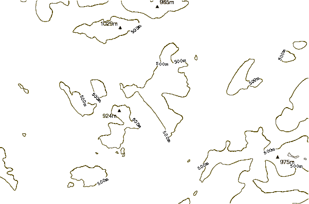
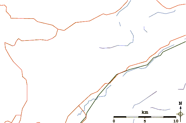
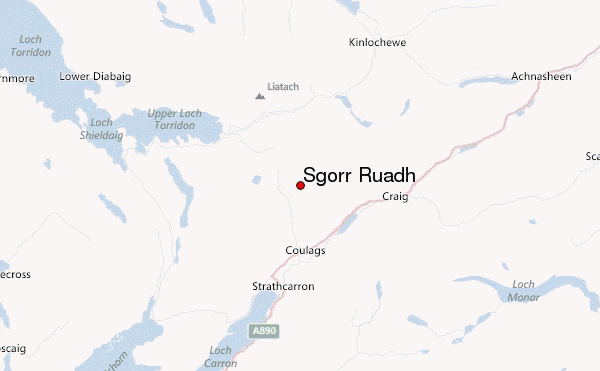
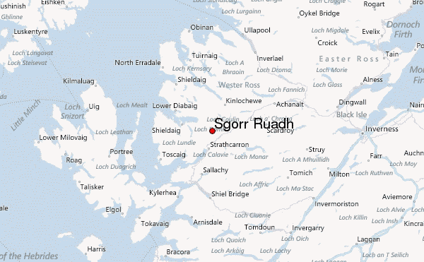
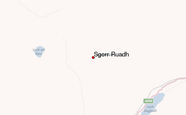
Use this relief map to navigate to mountain peaks in the area of Sgorr Ruadh.
10 other mountain peaks closest to Sgorr Ruadh:
| 1. | Beinn Liath Mhòr (926 m) | 1.5 km |
| 2. | Fuar Tholl (907 m) | 2.3 km |
| 3. | Coire Fionnaraich (180 m) | 2.7 km |
| 4. | Maol Cheann-dearg (933 m) | 3.6 km |
| 5. | An Ruadh-stac (892 m) | 4.4 km |
| 6. | Skye Bothy (82 m) | 5.5 km |
| 7. | Easan Dorcha (The Teahouse) (215 m) | 5.5 km |
| 8. | Beinn Damh (903 m) | 6.6 km |
| 9. | Liathac (1053 m) | 8.0 km |
| 10. | Bearnais Bothy (279 m) | 9.8 km |