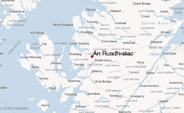
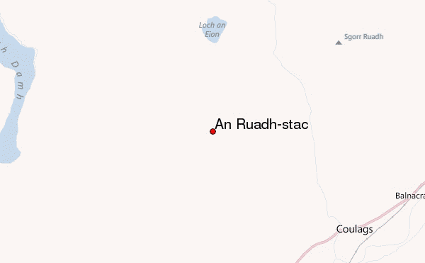
– Lat/Long: 57.48° N 5.47° W
 An Ruadh-stac – Climbing, Hiking & Mountaineering information

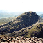
An Ruadh-stac Guide
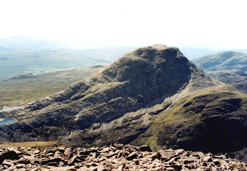
- Elevation: 892
- Difficulty: -
- Best months to climb: -
- Convenient center: -
An Ruadh-stac climbers NotesBe the first to submit your climbers note! Please submit any useful information about climbing An Ruadh-stac that may be useful to other climbers. Consider things such as access and accommodation at the base of An Ruadh-stac, as well as the logistics of climbing to the summit. |
| Select a
mountain summit from the menu |
||
|
Select a Mountain Summit
|
||
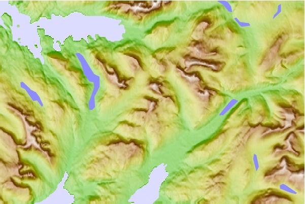
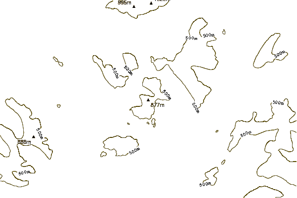
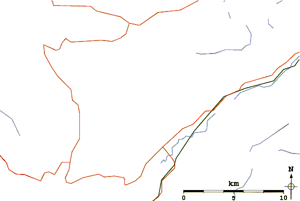
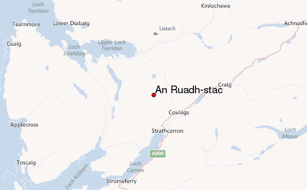
Use this relief map to navigate to mountain peaks in the area of An Ruadh-stac.
10 other mountain peaks closest to An Ruadh-stac:
| 1. | Maol Cheann-dearg (933 m) | 1.8 km |
| 2. | Coire Fionnaraich (180 m) | 2.8 km |
| 3. | Beinn Damh (903 m) | 3.5 km |
| 4. | Sgorr Ruadh (962 m) | 4.4 km |
| 5. | Fuar Tholl (907 m) | 5.4 km |
| 6. | Beinn Liath Mhòr (926 m) | 5.7 km |
| 7. | Liathac (1053 m) | 9.8 km |
| 8. | Easan Dorcha (The Teahouse) (215 m) | 9.9 km |
| 9. | Skye Bothy (82 m) | 9.9 km |
| 10. | Bearnais Bothy (279 m) | 11.2 km |