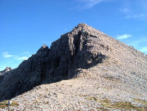
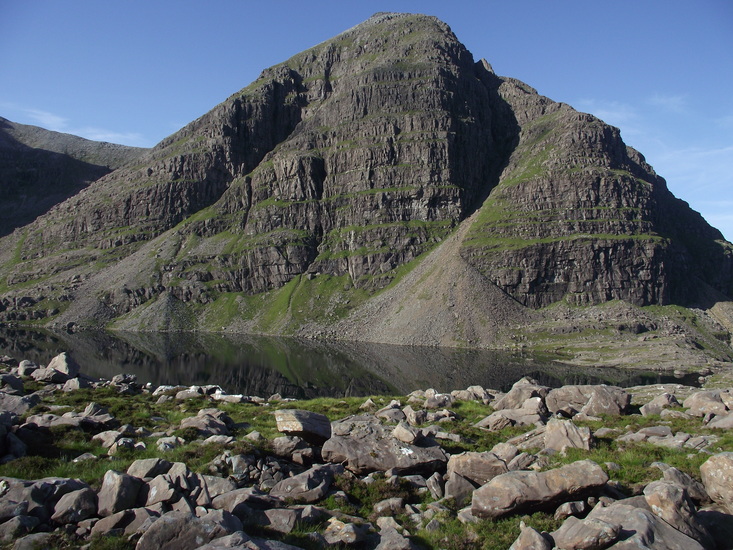
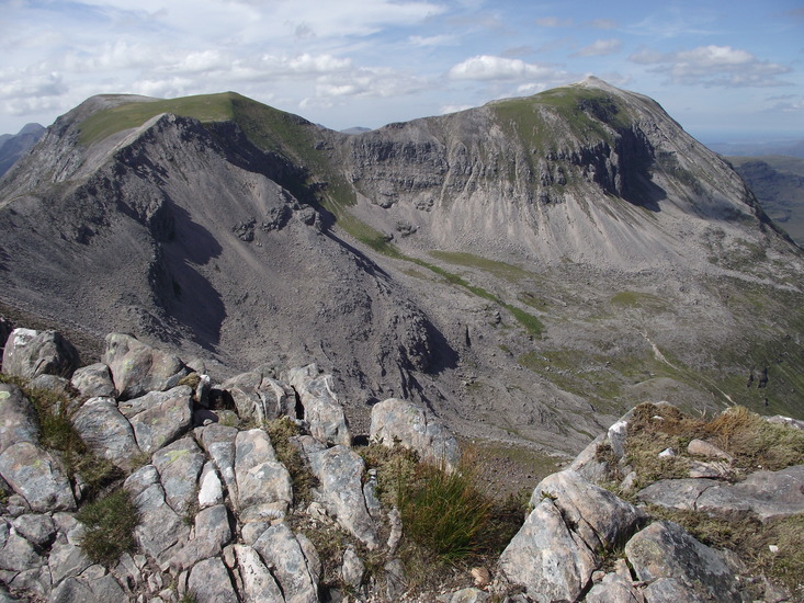
Beinn Eighe Guide
- Elevation: 1010
- Difficulty: Walk up
- Best months to climb: February
- Convenient center: Dingwall / Inverness
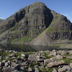
Beinn Eighe climbers Notes
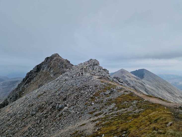
Dan Trelfa from UNITED KINGDOM writes:
Was tipped to park at Beinn Eighe nature reserve for better parking. This resulted in approaching across boggy and stony moorland, the path quickly disappears and we were exhausted by the time we reached the lochan.
2025-12-28 |
Click here to submit your own climbing note for Beinn Eighe
|
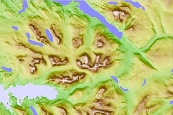
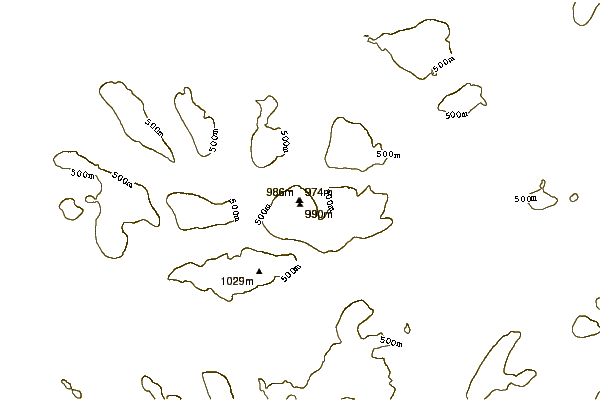
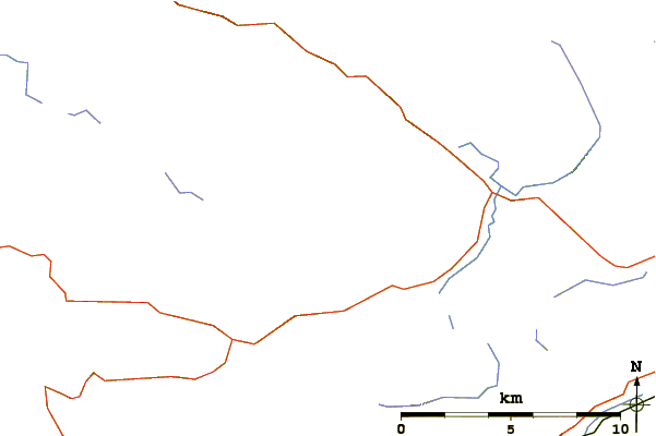
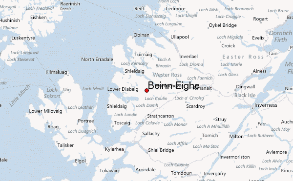
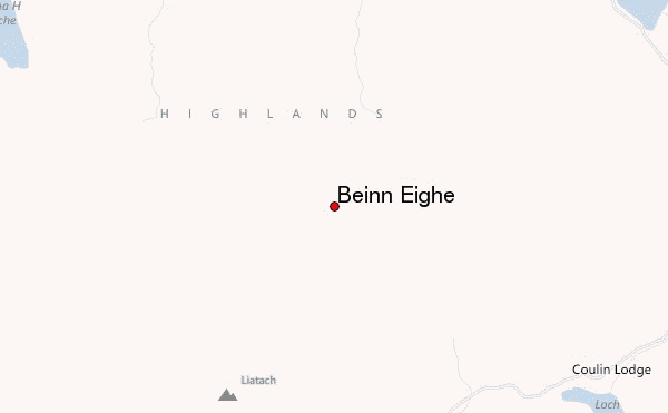
Select Beinn Eighe Location Map Detail:
Use this relief map to navigate to mountain peaks in the area of Beinn Eighe.
10 other mountain peaks closest to Beinn Eighe:
 Beinn Eighe – Climbing, Hiking & Mountaineering information
