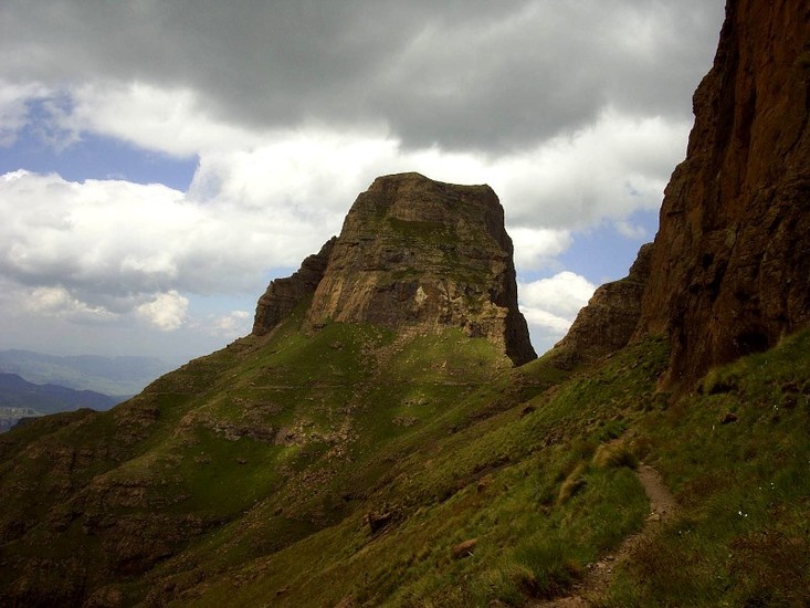
Sentinel Guide
- Elevation: 3165
- Difficulty: Scramble
- Best months to climb: April, May, June, July, August
- Convenient center: Phuthaditjaba
Sentinel climbers Notes
Gavin Raubenheimer from SOUTH AFRICA writes:
Sentinel has 9 different routes on it. The easiest way to the summit is via the Standard Route, graded E. This consists of one pitch, followed by scrambling and then one C grade pitch. The other popular route is the Angus-Leppan Route on the north face. This is 7 pitch moderate route. Use Sentinel Cave as a base or the hut at Sentinel car park.
2011-10-18 |
Click here to submit your own climbing note for Sentinel
|
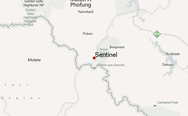
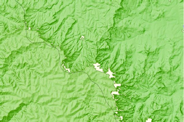
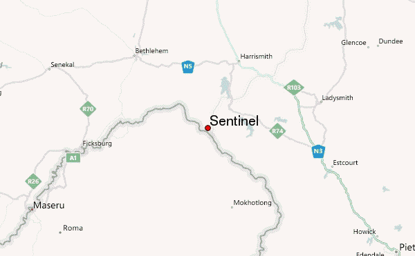
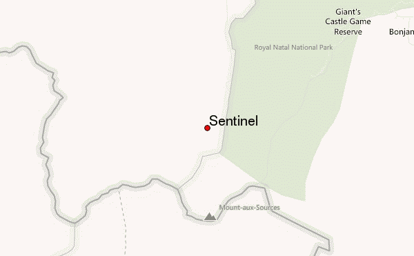
Select Sentinel Location Map Detail:
Use this relief map to navigate to mountain peaks in the area of Sentinel.
10 other mountain peaks closest to Sentinel:
 Sentinel – Climbing, Hiking & Mountaineering information


