Mont-aux-Sources Guide
- Elevation: 3282
- Difficulty: Technical Climb
- Best months to climb: April, May, June, July, August, September
- Convenient center: Hotels and campsites at the National Park
Mont-aux-Sources climbers Notes
Ansie Forsyth from SOUTH AFRICA writes:
Hello
We want to come down to do the mountain hiking....
What time can we check in...and what is the cost per person...
And also I've booked at Homestead lodge in Bergville.
How far is that from Mont aux sources?
Would be glad if you can help me with the above info ASAP.
Thank you
A
2014-03-27 |
Click here to submit your own climbing note for Mont-aux-Sources
|

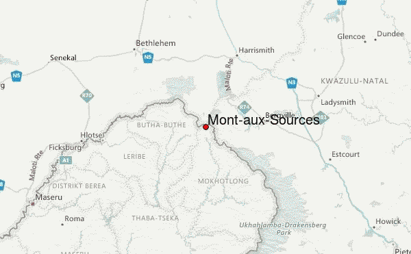
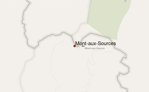
Select Mont-aux-Sources Location Map Detail:
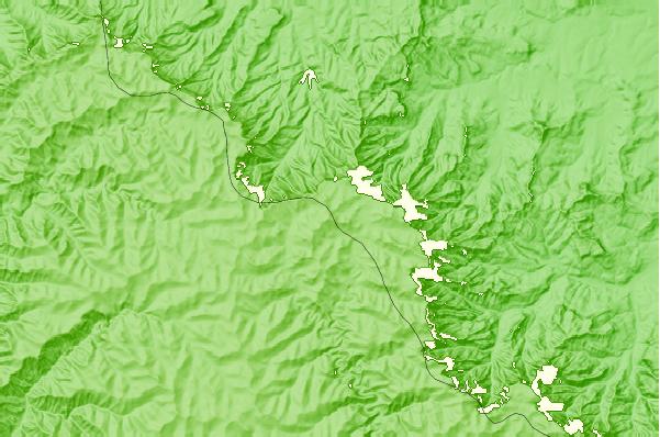
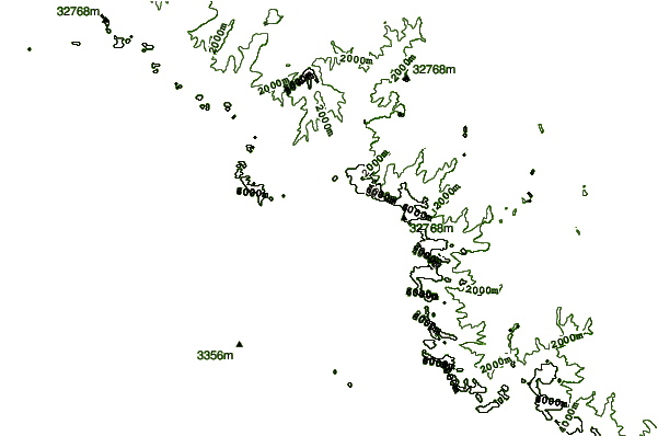
Use this relief map to navigate to mountain peaks in the area of Mont-aux-Sources.
10 other mountain peaks closest to Mont-aux-Sources:
 Mont-aux-Sources – Climbing, Hiking & Mountaineering information