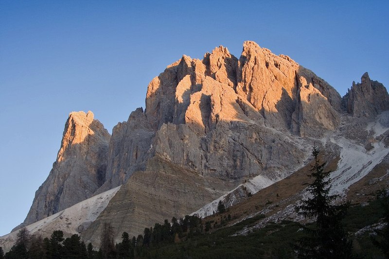
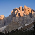
Sass Rigais Guide
- Elevation: 3025
- Difficulty: -
- Best months to climb: -
- Convenient center: -
Sass Rigais climbers Notes
Fouad from CANADA writes:
I was on this mountain during a thunderstorm and it was hell. Being the highest peak in the area with a large metal cross on top of it, it attracts lightning. Via ferratas are made of metal. I got struck 4 times while rushing down. Ended up getting saved by a helicopter rescue for 1000s of dollars.
Consult experts before climbing this. The guides told me I should have been on the summit at noon and it would have been much safer.
Overall, don’t get me wrong. It’s a beautiful climb, and very accessible with good weather. Talk to guides though…
2023-08-16 |
Click here to submit your own climbing note for Sass Rigais
|
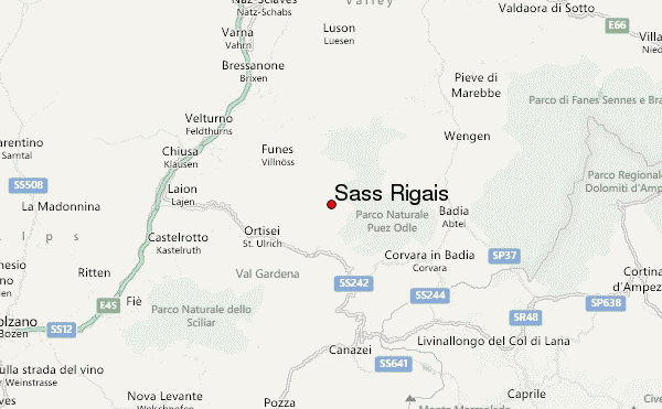
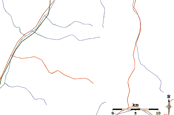
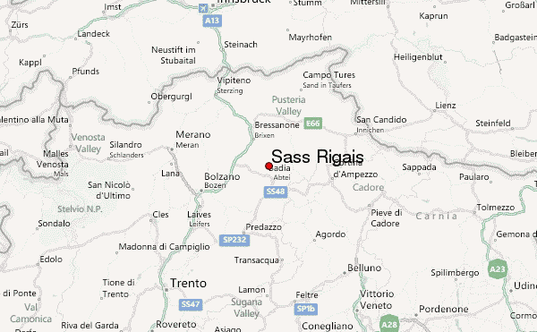
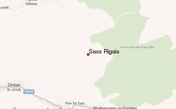
Select Sass Rigais Location Map Detail:
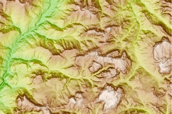
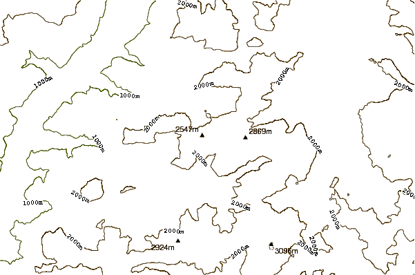
Use this relief map to navigate to mountain peaks in the area of Sass Rigais.
10 other mountain peaks closest to Sass Rigais:
 Sass Rigais – Climbing, Hiking & Mountaineering information