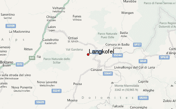
– Lat/Long: 46.52° N 11.74° E
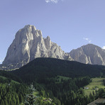
 Langkofel – Climbing, Hiking & Mountaineering information

Langkofel Guide
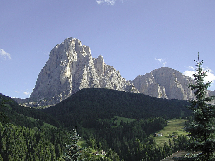
- Elevation: 3181
- Difficulty: Basic Snow and Ice Climb
- Best months to climb: June, July, August, September
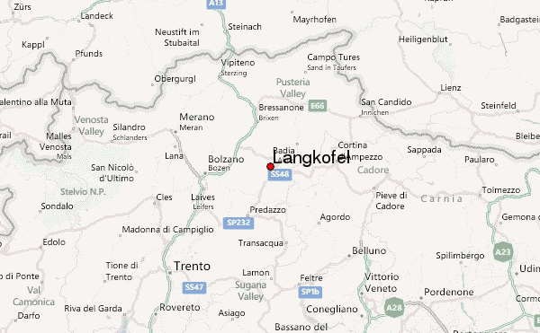
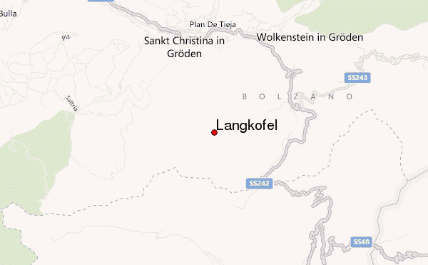
- Convenient center: St. Ulrich
One of the most difficult "normal" routes in the Dolomites with grade II/III rock climbing. About 100 meters of steep glacier climb inside the mountain in the "Untere Eisrinne" (lower ice groove). Last meters to the summit are very exposed with a great view. Basic climbing techniques (belaying, crampons, ice axe) are required.
Langkofel climbers NotesBe the first to submit your climbers note! Please submit any useful information about climbing Langkofel that may be useful to other climbers. Consider things such as access and accommodation at the base of Langkofel, as well as the logistics of climbing to the summit. |
| Select a
mountain summit from the menu |
||
|
Select a Mountain Summit
|
||
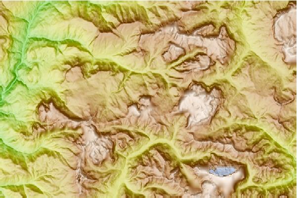
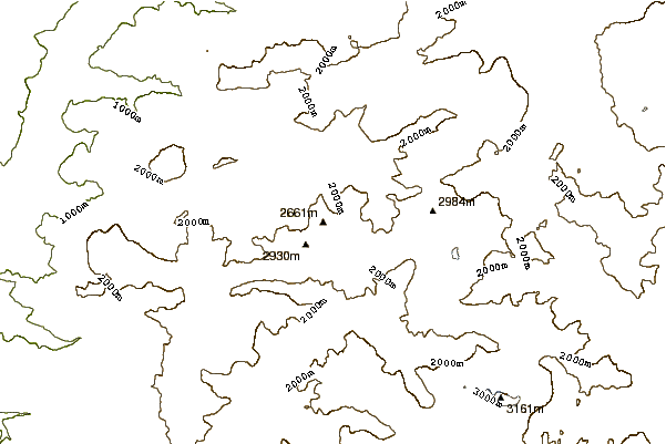
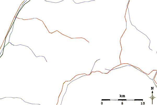
Use this relief map to navigate to mountain peaks in the area of Langkofel.
10 other mountain peaks closest to Langkofel:
| 1. | Rifugio Vicenza (2256 m) | 1.0 km |
| 2. | Rifugio Toni Demetz (2685 m) | 1.2 km |
| 3. | Grohmannspitze (3126 m) | 1.6 km |
| 4. | Plattkofel (2969 m) | 2.0 km |
| 5. | Rifugio Sandro Pertini (2316 m) | 2.7 km |
| 6. | Rifugio Des Alpes (2395 m) | 3.4 km |
| 7. | Rifugio Sasso Piatto (2297 m) | 3.5 km |
| 8. | Sella Towers (2696 m) | 3.8 km |
| 9. | Rosengarten group (3002 m) | 5.9 km |
| 10. | Stevia Mountain Hut (2312 m) | 6.0 km |