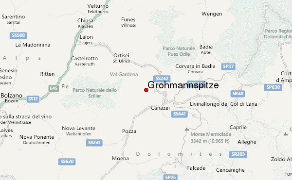
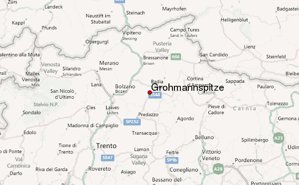
– Lat/Long: 46.51° N 11.73° E
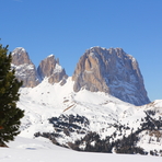
 Grohmannspitze – Climbing, Hiking & Mountaineering information

Grohmannspitze Guide
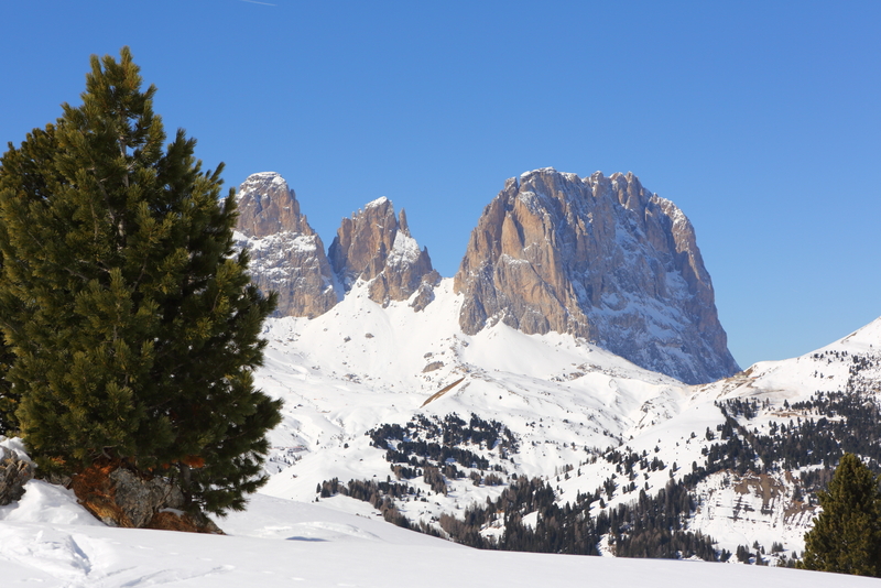
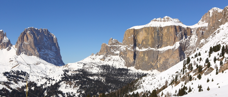
- Elevation: 3126
- Difficulty: -
- Best months to climb: -
- Convenient center: -
Grohmannspitze climbers NotesBe the first to submit your climbers note! Please submit any useful information about climbing Grohmannspitze that may be useful to other climbers. Consider things such as access and accommodation at the base of Grohmannspitze, as well as the logistics of climbing to the summit. |
| Select a
mountain summit from the menu |
||
|
Select a Mountain Summit
|
||
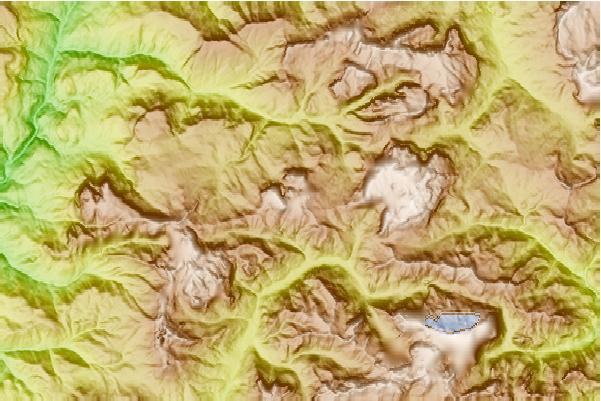
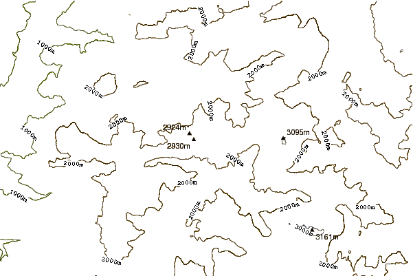
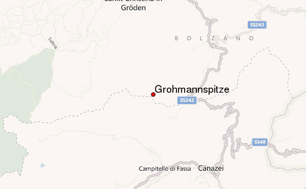
Use this relief map to navigate to mountain peaks in the area of Grohmannspitze.
10 other mountain peaks closest to Grohmannspitze:
| 1. | Rifugio Toni Demetz (2685 m) | 0.6 km |
| 2. | Rifugio Sandro Pertini (2316 m) | 1.2 km |
| 3. | Rifugio Vicenza (2256 m) | 1.3 km |
| 4. | Langkofel (3181 m) | 1.6 km |
| 5. | Plattkofel (2969 m) | 1.8 km |
| 6. | Rifugio Des Alpes (2395 m) | 2.1 km |
| 7. | Rifugio Sasso Piatto (2297 m) | 2.7 km |
| 8. | Sella Towers (2696 m) | 3.5 km |
| 9. | Rosengarten group (3002 m) | 5.3 km |
| 10. | Fassa Bike District (2424 m) | 5.7 km |