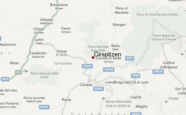
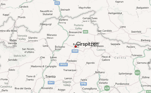
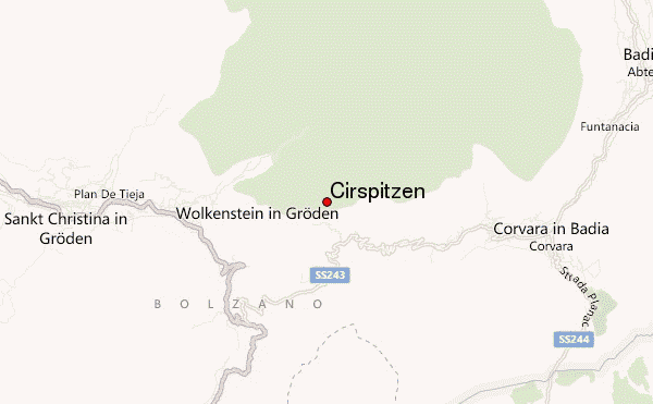
– Lat/Long: 46.56° N 11.80° E
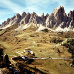
 Cirspitzen – Climbing, Hiking & Mountaineering information

Cirspitzen Guide
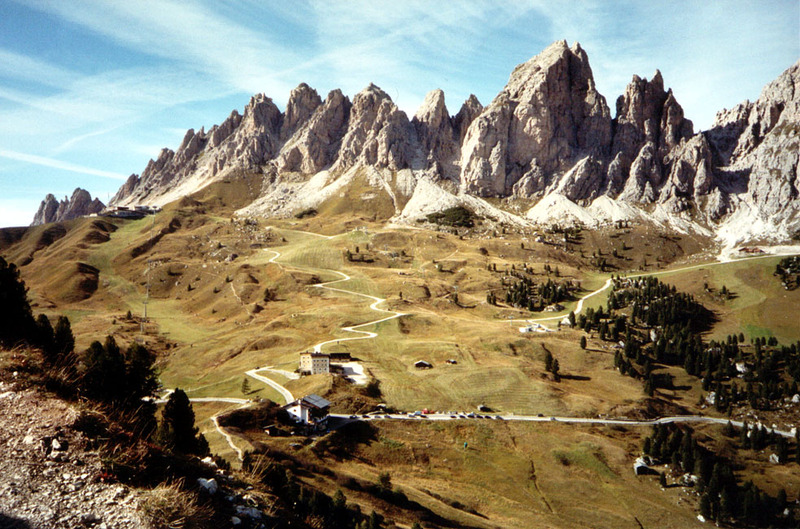
- Elevation: 2592
- Difficulty: -
- Best months to climb: -
- Convenient center: -
Cirspitzen climbers NotesBe the first to submit your climbers note! Please submit any useful information about climbing Cirspitzen that may be useful to other climbers. Consider things such as access and accommodation at the base of Cirspitzen, as well as the logistics of climbing to the summit. |
| Select a
mountain summit from the menu |
||
|
Select a Mountain Summit
|
||
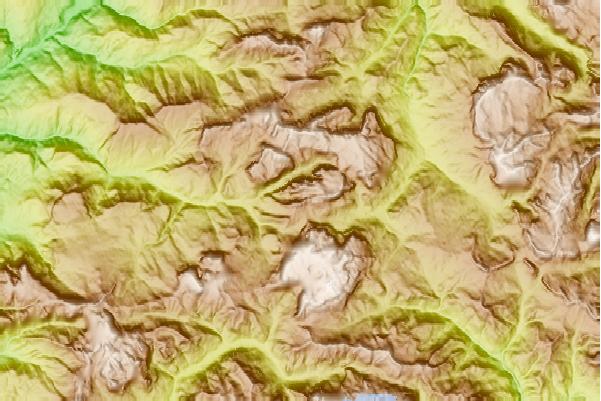
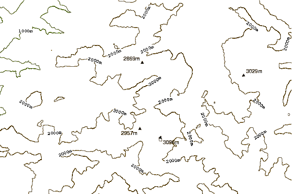
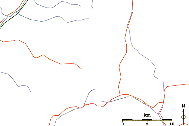
Use this relief map to navigate to mountain peaks in the area of Cirspitzen.
10 other mountain peaks closest to Cirspitzen:
| 1. | Stevia Mountain Hut (2312 m) | 2.9 km |
| 2. | Rifugio Franco Cavazza al Pisciadù (2585 m) | 2.9 km |
| 3. | Puez Mountain Hut (2475 m) | 4.0 km |
| 4. | Rifugio Boè (2871 m) | 5.2 km |
| 5. | Rifugio Kostner al Vallon (2585 m) | 5.7 km |
| 6. | Sella Towers (2696 m) | 5.7 km |
| 7. | Capanna Fassa (3152 m) | 5.9 km |
| 8. | Sass Rigais (3025 m) | 6.1 km |
| 9. | Furchetta (3025 m) | 6.4 km |
| 10. | Rifugio Forcella Pordoi (2846 m) | 6.4 km |