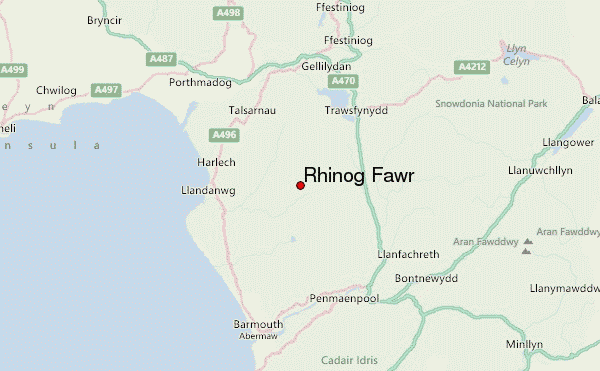
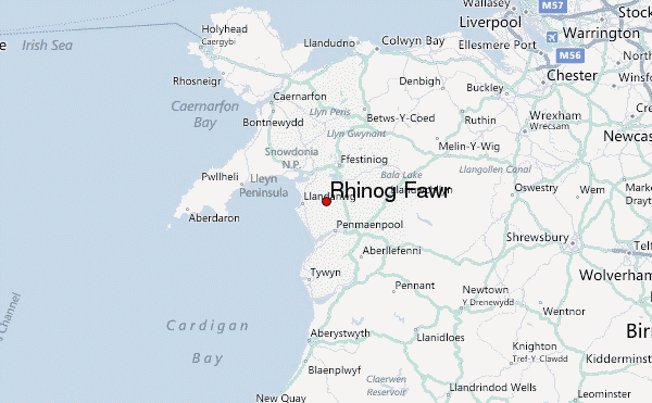
– Lat/Long: 52.84° N 4.00° W
 Rhinog Fawr – Climbing, Hiking & Mountaineering information

Rhinog Fawr Guide
- Elevation: 720
- Difficulty: -
- Best months to climb: -
- Convenient center: -
Rhinog Fawr climbers NotesBe the first to submit your climbers note! Please submit any useful information about climbing Rhinog Fawr that may be useful to other climbers. Consider things such as access and accommodation at the base of Rhinog Fawr, as well as the logistics of climbing to the summit. |
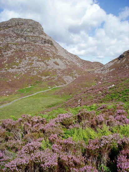
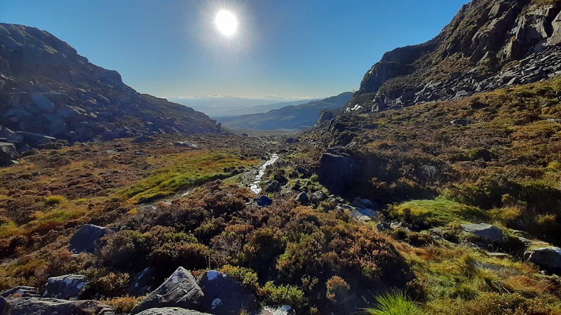
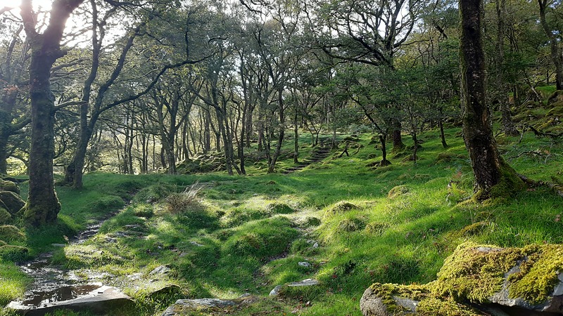
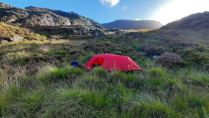
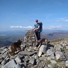
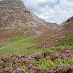
Latest Gallery Images for Rhinog Fawr
| Select a
mountain summit from the menu |
||
|
Select a Mountain Summit
|
||
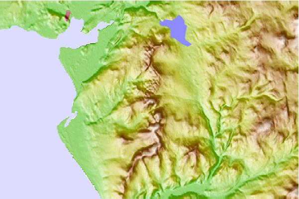
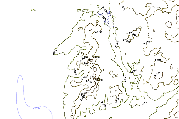
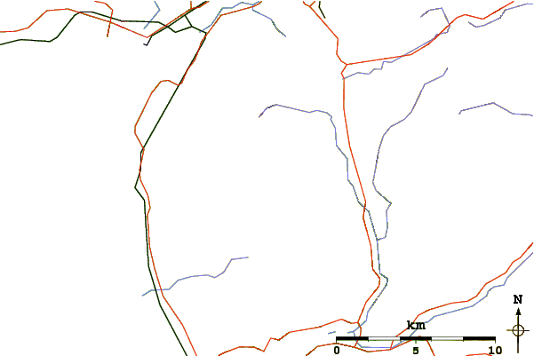
Use this relief map to navigate to mountain peaks in the area of Rhinog Fawr.
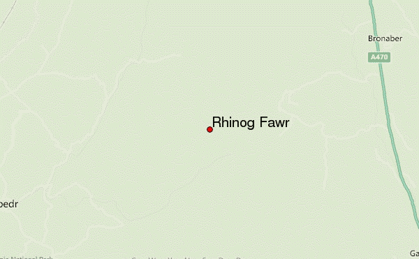
10 other mountain peaks closest to Rhinog Fawr:
| 1. | Rhinog Fach (712 m) | 2.2 km |
| 2. | Y Llethr (756 m) | 3.3 km |
| 3. | Crib-y-rhiw (670 m) | 3.3 km |
| 4. | Moelfre (hill) (589 m) | 5.3 km |
| 5. | Moel Ysgyfarnogod (623 m) | 5.5 km |
| 6. | Diffwys (750 m) | 5.6 km |
| 7. | Diffwys West Top (642 m) | 5.6 km |
| 8. | Foel Penolau (614 m) | 5.8 km |
| 9. | Y Garn (Rhinogydd) (629 m) | 7.6 km |
| 10. | Penrhos Isaf (169 m) | 9.6 km |