– Lat/Long: 52.79° N 3.93° W
 Y Garn (Rhinogydd) – Climbing, Hiking & Mountaineering information

Y Garn (Rhinogydd) Guide

- Elevation: 629
- Difficulty: -
- Best months to climb: -
- Convenient center: -
Y Garn (Rhinogydd) climbers NotesBe the first to submit your climbers note! Please submit any useful information about climbing Y Garn (Rhinogydd) that may be useful to other climbers. Consider things such as access and accommodation at the base of Y Garn (Rhinogydd), as well as the logistics of climbing to the summit. |
| Select a
mountain summit from the menu |
||
|
Select a Mountain Summit
|
||
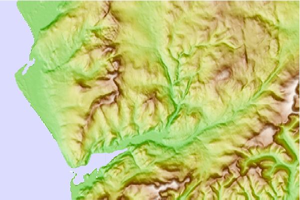
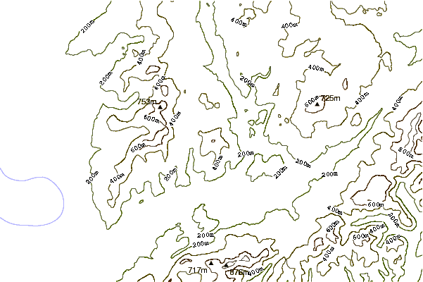
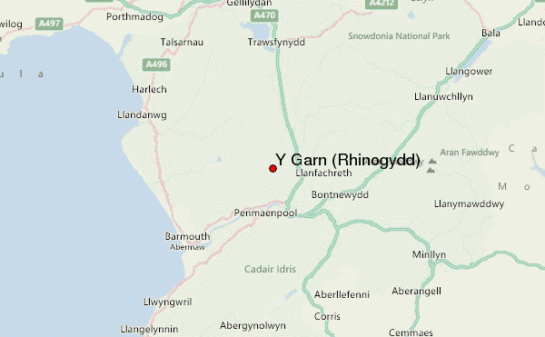
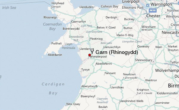
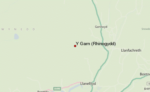
Use this relief map to navigate to mountain peaks in the area of Y Garn (Rhinogydd).
10 other mountain peaks closest to Y Garn (Rhinogydd):
| 1. | Penrhos Isaf (169 m) | 3.6 km |
| 2. | Diffwys (750 m) | 4.1 km |
| 3. | Diffwys West Top (642 m) | 4.1 km |
| 4. | Crib-y-rhiw (670 m) | 4.8 km |
| 5. | Y Llethr (756 m) | 4.8 km |
| 6. | Rhinog Fach (712 m) | 5.5 km |
| 7. | Rhinog Fawr (720 m) | 7.6 km |
| 8. | Moelfre (hill) (589 m) | 7.7 km |
| 9. | Rhobell Fawr (734 m) | 8.8 km |
| 10. | Cadair Idris (Penygadair) summit shelter (890 m) | 10.0 km |
