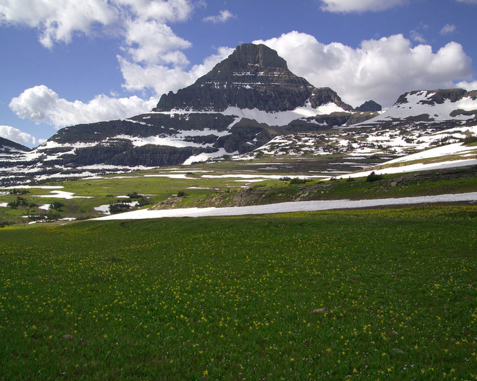
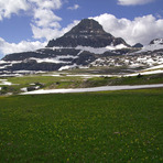
Reynolds Mountain Guide
- Elevation: 2781
- Difficulty: Scramble
- Best months to climb: June, July, August
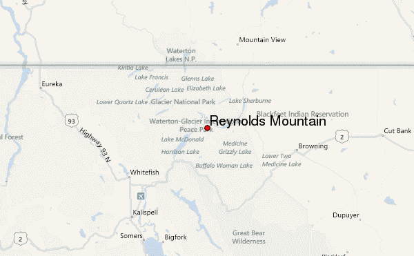
- Convenient center: West Glacier, MT
Reynolds Mountain climbers Notes
Brian Coffey from CANADA writes:
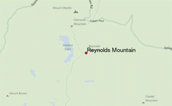
There are numerous routes to the summit, including a traverse of the north face. The easiest route is the "Southwestern Talus Slope Route" ascending the talus slopes and very short cliff bands on the SW side of the peak. There is very little exposure and much of the route is on primitive trail. Take the (usually) crowded boardwalk towrd the Hidden Lake Lookout and turn left onto a climbers trail just before the lookout. Follow this to the second saddle (between Reynolds and Dragontail), then head up through easy scrambling to the scree slope. Numerous cairns will guide you through the cliffs.
2013-09-18 |
Click here to submit your own climbing note for Reynolds Mountain
|
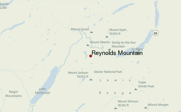
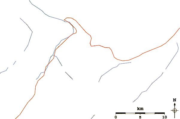
Select Reynolds Mountain Location Map Detail:
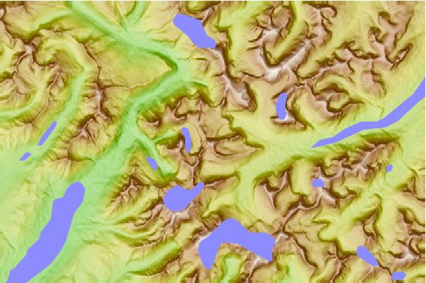
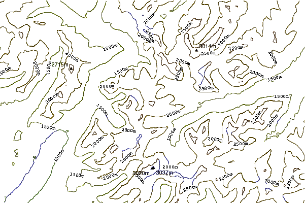
Use this relief map to navigate to mountain peaks in the area of Reynolds Mountain.
10 other mountain peaks closest to Reynolds Mountain:
 Reynolds Mountain – Climbing, Hiking & Mountaineering information