– Lat/Long: 37.62° N 90.63° W
 Pilot Knob (Iron County, Missouri) – Climbing, Hiking & Mountaineering information

Pilot Knob (Iron County, Missouri) Guide
- Elevation: 448
- Difficulty: -
- Best months to climb: -
- Convenient center: -
Pilot Knob (Iron County, Missouri) climbers NotesBe the first to submit your climbers note! Please submit any useful information about climbing Pilot Knob (Iron County, Missouri) that may be useful to other climbers. Consider things such as access and accommodation at the base of Pilot Knob (Iron County, Missouri), as well as the logistics of climbing to the summit. |
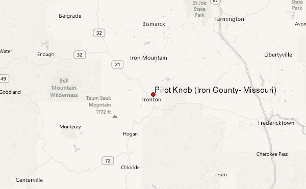
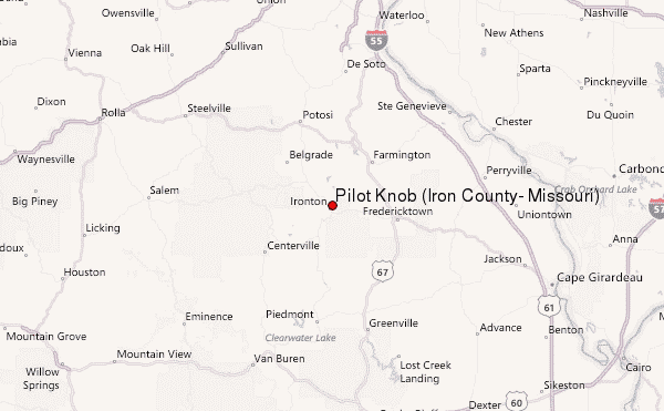
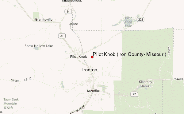
Select Pilot Knob (Iron County, Missouri) Location Map Detail:
| Select a
mountain summit from the menu |
||
|
Select a Mountain Summit
|
||
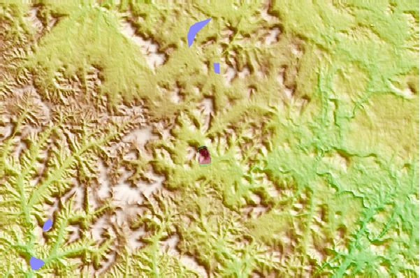
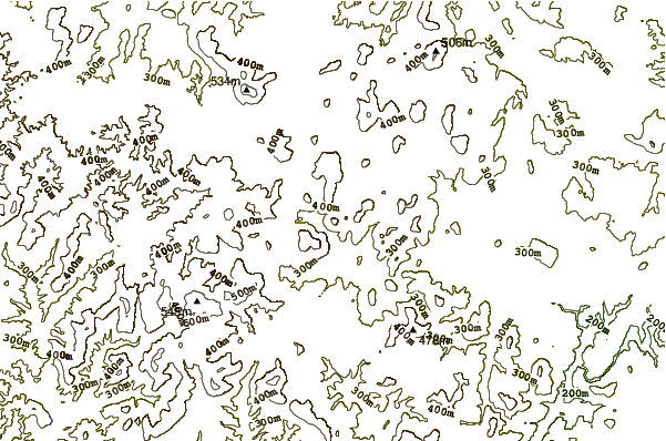
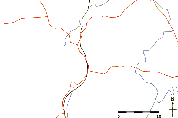
Use this relief map to navigate to mountain peaks in the area of Pilot Knob (Iron County, Missouri).
10 other mountain peaks closest to Pilot Knob (Iron County, Missouri):
| 1. | Shepherd Mountain Bike Park (489 m) | 2.2 km |
| 2. | Taum Sauk Mountain (540 m) | 10.5 km |
| 3. | Howler Bike Park (377 m) | 250.0 km |
| 4. | Lake Leatherwood Gravity Project (440 m) | 309.4 km |
| 5. | Woodall Mountain (246 m) | 380.9 km |
| 6. | Mount Magazine (839 m) | 384.0 km |
| 7. | Weed Patch Hill (322 m) | 421.3 km |
| 8. | Black Fork Mountain (792 m) | 466.5 km |
| 9. | Capshaw Mountain (381 m) | 467.9 km |
| 10. | Wilton Mountain (775 m) | 482.2 km |