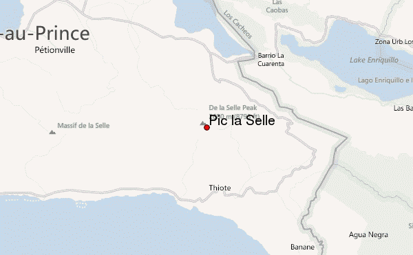
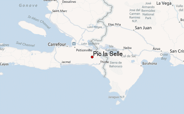
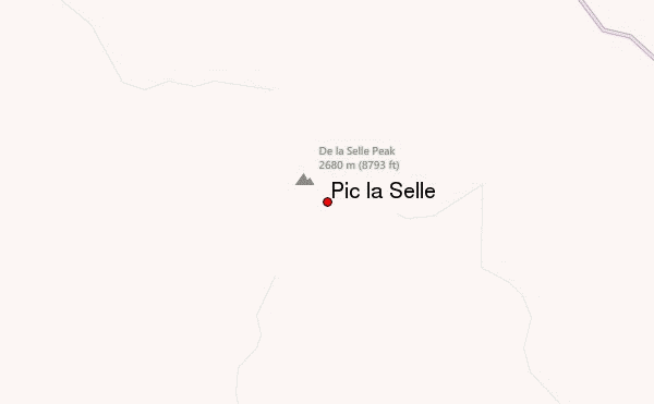
– Lat/Long: 18.36° N 71.98° W
 Pic la Selle – Climbing, Hiking & Mountaineering information

Pic la Selle Guide
- Elevation: 2680
- Difficulty: -
- Best months to climb: -
- Convenient center: -
Pic la Selle climbers Notes
Click here to submit your own climbing note for Pic la Selle |
| Select a
mountain summit from the menu |
||
|
Select a Mountain Summit
|
||
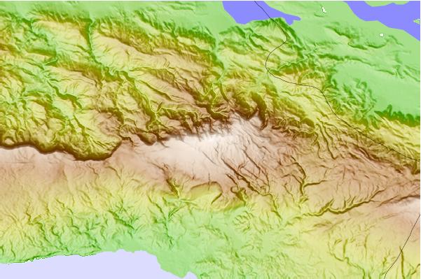
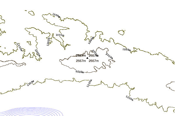
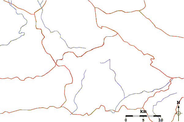
Use this relief map to navigate to mountain peaks in the area of Pic la Selle.
10 other mountain peaks closest to Pic la Selle:
| 1. | La Pelona (3085 m) | 127.3 km |
| 2. | Pico Duarte (3175 m) | 128.7 km |
| 3. | El Yunque, Cuba (575 m) | 351.5 km |
| 4. | Blue Hills, Turks and Caicos Islands (49 m) | 384.2 km |
| 5. | John Crow Mountains (1143 m) | 464.2 km |
| 6. | Blue Mountain Peak (2256 m) | 487.9 km |
| 7. | Blue Mountains (2317 m) | 496.7 km |
| 8. | Pico Turquino (1974 m) | 542.0 km |
| 9. | Cerro de Punta (1338 m) | 569.4 km |
| 10. | Monte Jayuya (1315 m) | 571.2 km |