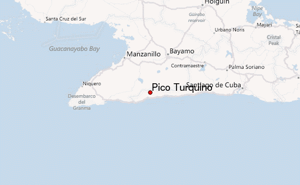
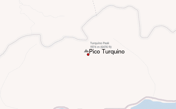
Pico Turquino Guide
- Elevation: 1974
- Difficulty: -
- Best months to climb: -
- Convenient center: -
Pico Turquino climbers Notes
John Manuel from UNITED KINGDOM writes:
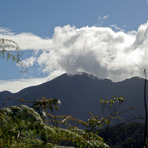
Hiking the highest mountains in Cuba is an amazing experience and there are different ways to do it. You can do it in 2 days or 1 day. Start in the northern side and back to the same place or start in the northern side climb the top and go down to the southern side. The hike up from the south side it is a hard one but if you like challenges, do it. You can contact Anley Rosales Benitez from Bayamo Travel Agent for arrangements or more information.
2019-01-11 |
Click here to submit your own climbing note for Pico Turquino
|
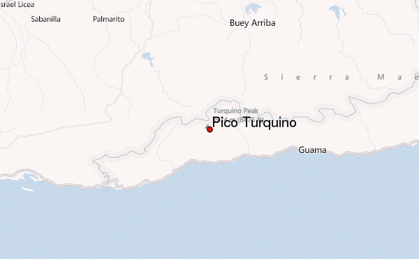
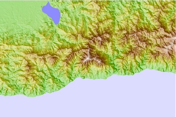
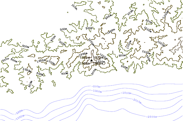
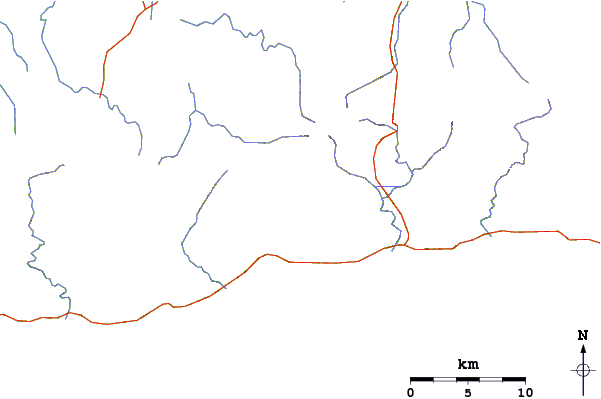
Select Pico Turquino Location Map Detail:
Use this relief map to navigate to mountain peaks in the area of Pico Turquino.
10 other mountain peaks closest to Pico Turquino:
 Pico Turquino – Climbing, Hiking & Mountaineering information